What is recorded here
From OpenStreetMap (© OpenStreetMap contributors) w1446869787
Places near here
Photo credits
- Maker not stated on source page, www.flickr.com
- Nigel Cox, Wikimedia Commons · CC BY-SA 2.0
- Maker not stated on source page, commons.wikimedia.org
- Maker not stated on source page, www.istockphoto.com
- Pam Brophy, Geograph · CC BY-SA 2.0
- Maker not stated on source page, www.dreamstime.com
- Maker not stated on source page, www.alamy.com
- Ramsey Cardy / Sportsfile, credited in The Irish Times caption, www.irishtimes.com
- Mick Garratt, Geograph · CC BY-SA 2.0
- Boston at English Wikipedia, Wikimedia Commons · Public domain
- Dáibhí Ó Bruadair, Wikimedia Commons · CC BY-SA 4.0
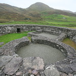 Fairy fort / earthen ringfort in An CharraigFairy fort / earthen ringfort · 11 yd
Explorer Tom Fairy fort / earthen ringfort in An Charraig is basically a very smug circle that got levelled before it could say…
 Murreagh Church (Kilmalkedar)Church/chapel · 738 yd
Explorer Tom Murreagh Church in Cloghaneduff would describe itself to a stranger as 'slightly damp but spiritually superior'. It was…
 Standing stone in Cill ChúileStanding stone · 739 yd
Explorer Tom Standing stone in Cill Chúile has started an imaginary fan club with zero members. It stands next to a hut ruin, acting…
 Fairy fort / earthen ringfort in An Mhuiríoch (tc Cill Maoilchéadar)Fairy fort / earthen ringfort · 846 yd
Explorer Tom Fairy fort / earthen ringfort in An Mhuiríoch would have 'Finally got the drain fixed' on its tombstone because the…
 Séipéal Bhréanainn [Saint Brendan's Catholic Church]Church/chapel · 1053 yd
Explorer Tom Séipéal Bhréanainn in Kilcooly is in a fierce rivalry with the more famous church down the road because it lost its…
 Graveyard in Cill ChúileGraveyard · 1228 yd
Explorer Tom Graveyard in Cill Chúile would make Saint Patrick roll his eyes from the grave, probably. The stones have been removed…
 Mapped cemeteryCemetery · 1340 yd
Explorer Tom Mapped cemetery in County Kerry supposedly had a smuggling ring operating from the back corner, moving crates of what…
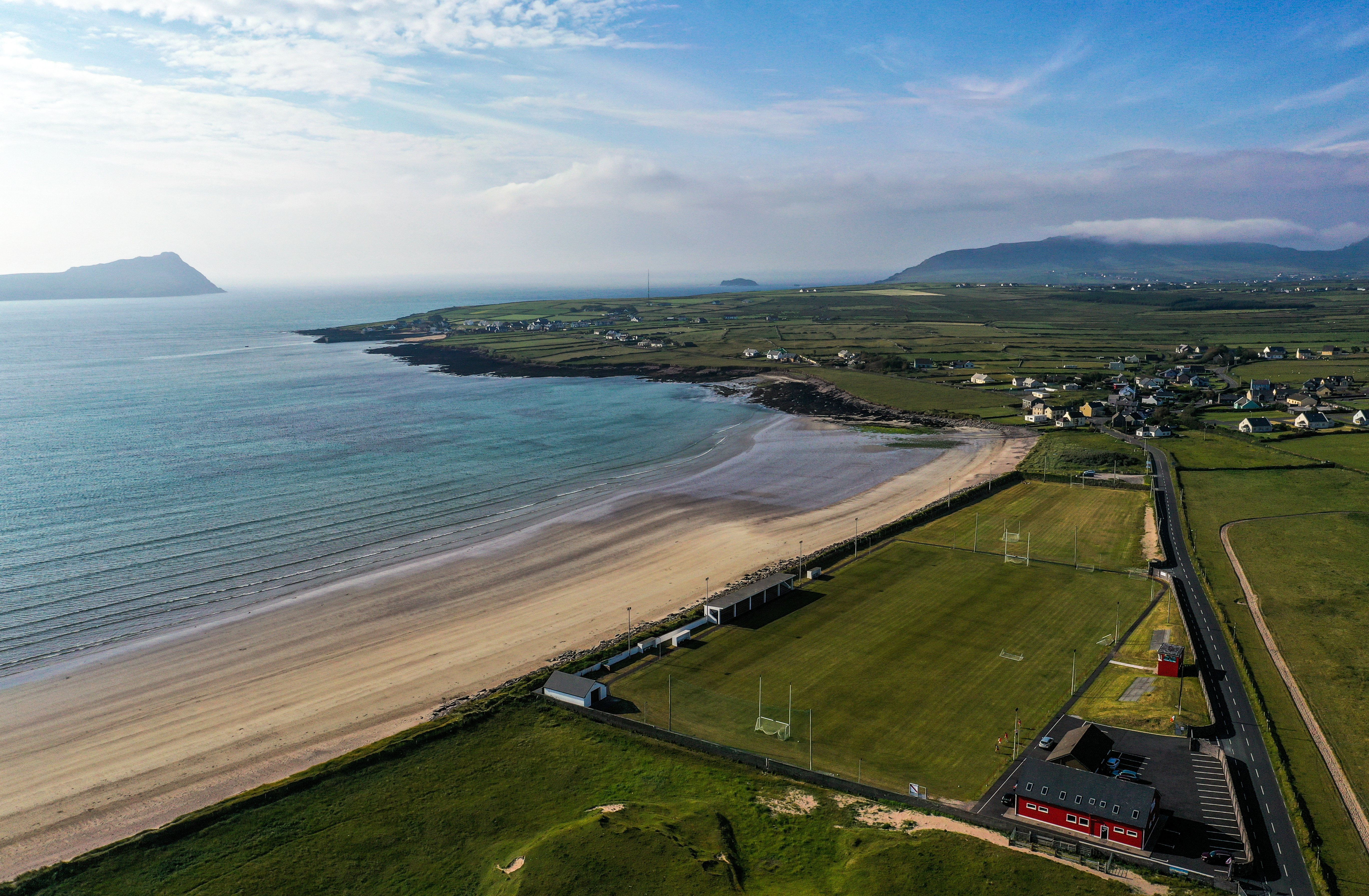 Gallarus, An GhaeltachtGAA ground · 1394 yd
 Gallarus Castle (in ruins)Castle, tower house · 1.1 mi
Explorer Tom Gallarus Castle sits by Smerwick Harbour, acting like it’s the main event when it’s just a tower. I heard a fox took…
 Gallarus CastleCastle · 1.1 mi
Explorer Tom Gallarus Castle rises above Baile na nGall on the Dingle Peninsula, a four-storey tower that seems to have borrowed the…
 Cuan Ard na CaithneBay · 1.3 mi
Explorer Tom Ard na Caithne gives me two names to wrestle with before I even reach the shore. The Irish means height of the arbutus…
 Riasc Monastic SettlementHeritage attraction · 2.1 mi
Explorer Tom Riasc, or Reask, is an early monastic site near Ballyferriter where low stone walls and house outlines ask you to use…
More archaeology and monuments in County Kerry · All of County Kerry

What do you know about this place?Tap to add a comment or ask a question