What is recorded here
In pasture, on a SW-facing slope, c. 75m NE of Kilnanare stream. A circular area (42m N-S; 40m E-W) defined by a substantial earthen bank with an external fosse S-SE. There is a causeway entrance at SE. The interior slopes down to the SW. The rath is overgrown with impenetrable furze bushes.
Compiled by: Elizabeth Byrne, Ursula Egan and Sheila Ronan, Archaeological Survey Unit, University College, Cork.
Date of upload: 31 January 2011
The monument record does not grant public access. Check the route and ask the landowner before entering private land.
- What survives
- Recorded monument
Places near here
 LisparkatoberArchaeological place · 6 yd
 IndicatedEnclosure · 510 yd
 Knocknamucklagh Ho.Country house · 680 yd
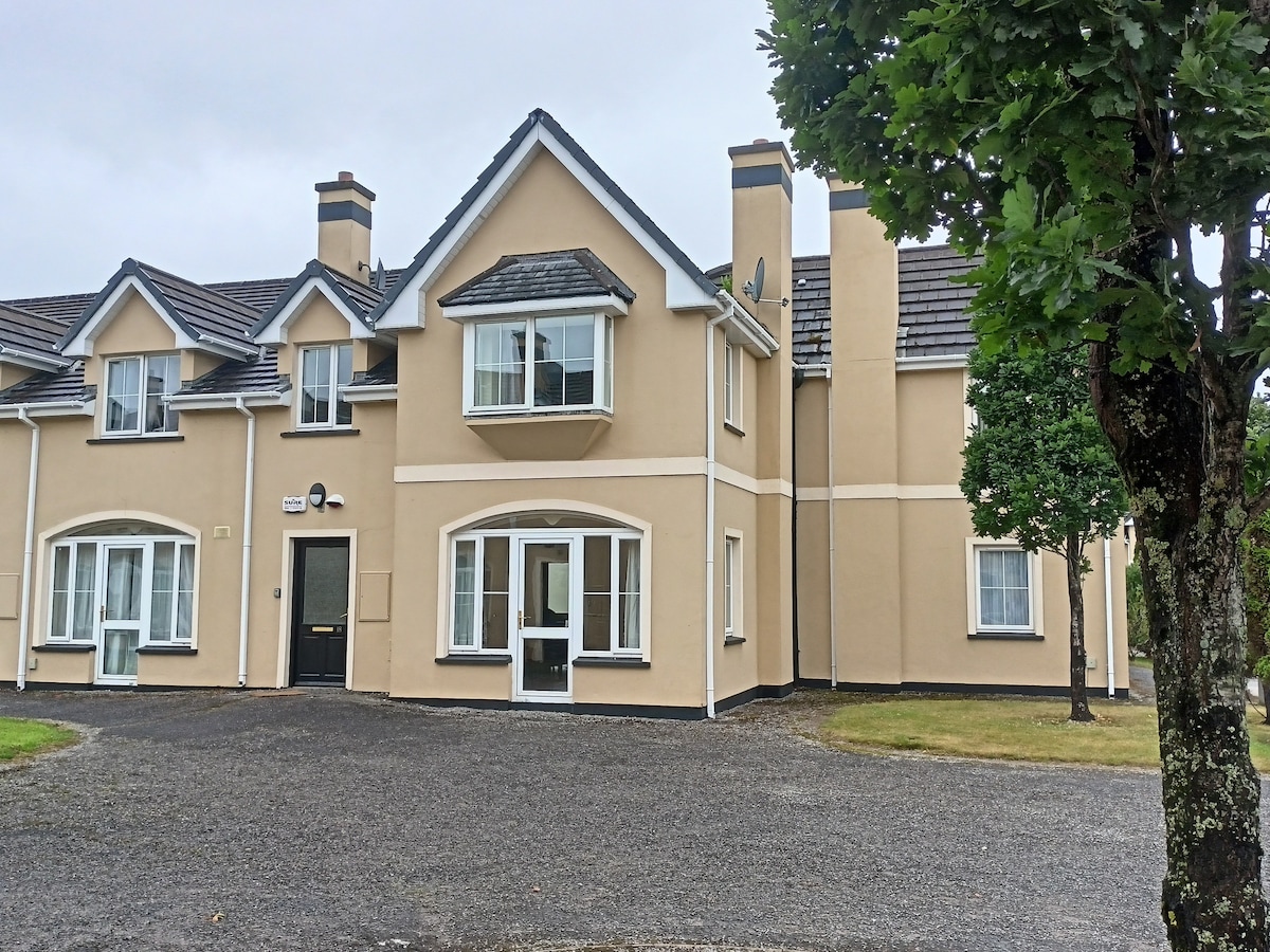 Batterfield HouseRuins · 1.3 mi
 Fieries CastleCastle · 1.4 mi
 Cloonmealane CastleCastle · 1.7 mi
 The Kerry Creamery ExperienceHeritage attraction · 3.2 mi
 Ballygamboon Forest Recreation AreaWood · 4.1 mi
 KnockmoyleMountain / peak · 5.6 mi
 Aghadoe Early Medieval Ecclesiastical SiteHeritage attraction · 6.2 mi
 Rabbit or Brown IslandIslet · 7.6 mi
 Famine MemorialMemorial · 7.7 mi