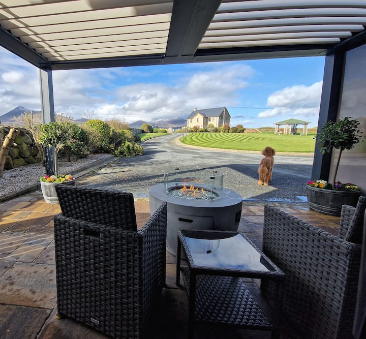
What is recorded here
Circular area (101m N-S; 104m E-W), on summit of ridge enclosed by three, and the remains of a fourth, earthen banks with intervening fosses. Stone field fence encloses the site SE to ENE, second fence encloses interior, inside inner bank. Interior rises towards the centre N to S. Inner banks and fosses well preserved and display evidence of stone revetment. Outer bank survives E to SE and WNW to N. Four gaps or entrances through banks and fosses at NNE, ENE, SSW, WNW. Gaps on NNE (Wth 3.5m) and ENE (Wth 3m) contain stonelined causeways.
The above description has been derived from D. Lavelle (compiler), An Archaeological Survey of Ballinrobe and District including Lough Mask and Lough Carra. Lough Mask and Lough Carra Tourist Development Association (1994), No. 88.
Date of upload: 20 December 2013
Lisnatreanduff is a circular early-medieval ringfort, likely dating to between the 5th and 10th centuries, characterized by multiple earthen banks and ditches. Local folklore, common to many such sites, associates it with the Otherworld and tales of fairies, though specific traditions connected to this site are not recorded.
The monument record does not grant public access. Check the route and ask the landowner before entering private land.
- What survives
- Recorded monument
Places near here
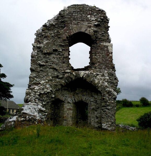 Castle in ruinsCastle, unclassified · 240 yd
 Enclosure in Thomastown (kilmaine By., Kilmainemore Par.)Enclosure · 431 yd
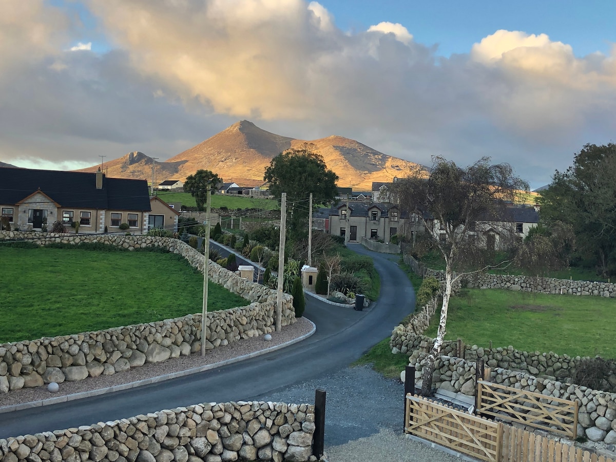 Enclosure in BallymartinEnclosure · 637 yd
 Church in ruinsChurch · 1.1 mi
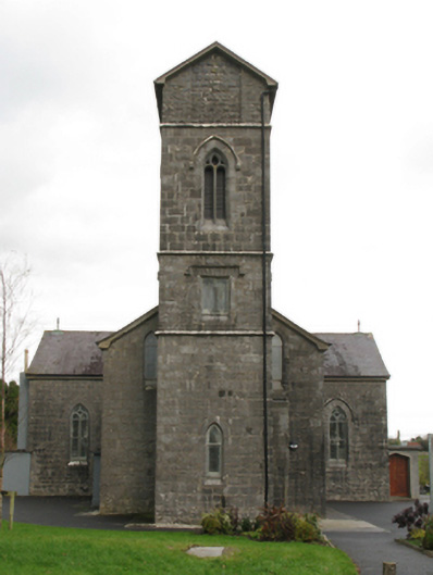 Saint Patrick's Catholic Churchchurch/chapel · 1.3 mi
 Bawn in Kilquire LowerBawn · 1.6 mi
 European ashEuropean ash · 3.6 mi
 European YewEuropean Yew · 4.1 mi
 LabbadermotCave · 4.3 mi
 Gibbs IslandsIslet · 5.5 mi
 Easter IslandIslet · 5.7 mi
 School of FalconryHeritage attraction · 6.7 mi
Other information
Photo: Credit not shown in the picture search · Rights wording not checked; contact us if this picture should be removed