
What is recorded here
Lisnapaste Fairy Fort is a low, subcircular mound thirty metres across, half a metre high, and wet enough to soften every edge. It sits on a narrow spit between Trumanan Lough and Ballynakillew Lough, where water enters from both sides and people may have learned to build there despite the danger. The uneven interior suggests digging, perhaps recent, perhaps repeated across generations. A ringfort so small and exposed would have demanded courage, humility, and an exact reading of the land.
Internal diam. 30m. A low subcircular mound .5m high with an uneven recently dug interior. Locally it is believed to be the remains of a ringfort. It is situated on a low-lying, level, wet spit of land between Trumanan Lough to the N and Ballynakillew Lough to the S.
The above description was derived from the 'Archaeological Survey of County Donegal. A description of the field antiquities of the County from the Mesolithic Period to the 17th century.' Compiled by: Brian Lacey with Eamon Cody, Claire Cotter, Judy Cuppage, Noel Dunne, Vincent Hurley, Celie O'Rahilly, Paul Walsh and Seán Ó Nualláin (Lifford: Donegal County Council, 1983). In certain instances the entries have been revised and updated.
Date of upload: 22 September 2008
The monument record does not grant public access. Check the route and ask the landowner before entering private land.
- What survives
- Recorded monument
Places near here
 Lisnapaste Fairy FortFairy fort / earthen ringfort · 636 yd
 Trumman East Fairy Fort between the LakesFairy fort / earthen ringfort · 853 yd
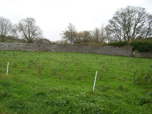 Coxtown Housewalled garden · 1403 yd
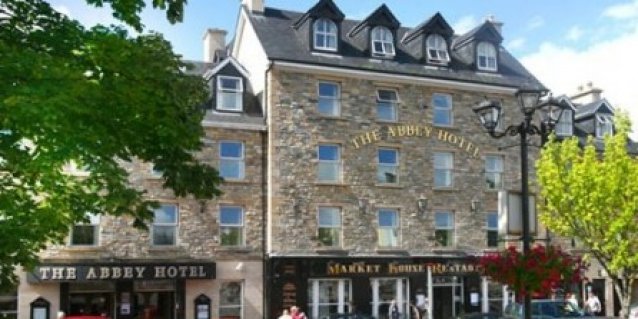 Abbey in RuinsChurch · 1413 yd
 Rooney's IslandIslet · 2.7 mi
 Castle (Site of)Castle, unclassified · 3.1 mi
 MurvaghOfficial bathing water · 3.1 mi
 Ballyboyle IslandIslet · 3.3 mi
 Ballyboyle Castle (Site of)Castle, tower house · 3.5 mi
 Donegal Friary GraveyardGraveyard · 3.6 mi
 Siege of Donegalsiege · 3.6 mi
 Wych ElmWych Elm · 3.7 mi
Other information
Photo: Credit not shown in the picture search · Rights wording not checked; contact us if this picture should be removed