What is recorded here
In pasture, on a low elevation with good views over gently undulating grassland intermixed with bog. This rath is named ‘Lisnalee’ on the 1838 and 1919 OS 6-inch maps. Raised circular area (29.5m N-S; 30m E-W) enclosed by an earthen bank (Wth 2.9m at S, 3.4m at N; int. H 0.2-0.4m; ext. H 1.2m at S, 2m at N) reduced to scarp at E−SE. The platform is built up on its N half to compensate for the natural fall of ground and create a level interior. The bank has a compact appearance with a near vertical external face that suggests it was modified in the recent past. The original entrance may be at the SW where there is a gap (Wth 2m) at the lowest point in the bank. Another rath (MA081-025---) is located on higher ground 225m to NNE.
In pasture, on a low elevation with good views over gently undulating grassland intermixed with bog. This rath is named ‘Lisnalee’ on the 1838 and 1919 OS 6-inch maps. Raised circular area (29.5m N-S; 30m E-W) enclosed by an earthen bank (Wth 2.9m at S, 3.4m at N; int. H 0.2-0.4m; ext. H 1.2m at S, 2m at N) reduced to scarp at E−SE. The platform is built up on its N half to compensate for the natural fall of…
From the National Monuments Service (Archaeological Survey of Ireland) record MA081-026
The monument record does not grant public access. Check the route and ask the landowner before entering private land.
- What survives
- Recorded monument
Places near here
LisnaheemoyleFairy fort / earthen ringfort · 297 yd Shanvaghera National SchoolSchool · 932 ydSaint Anne's Catholic ChurchChurch/chapel · 1031 yd1798 MonumentMonument · 1.6 miKnock ShrineHeritage attraction · 1.8 miKnock MuseumMuseum · 1.8 mifarm house2.2 miGrave YardGraveyard · 3.4 miEast Mayo Brigade MonumentMemorial · 3.7 miCastleCastle, unclassified · 4.2 miIndicatedHouse, fortified house · 4.3 miI'll Send You The FareMemorial · 4.8 mi
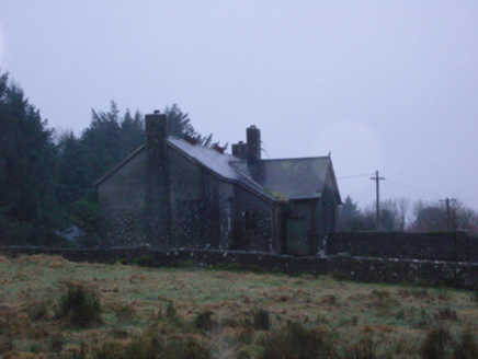 Shanvaghera National SchoolSchool · 932 yd
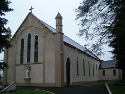 Saint Anne's Catholic ChurchChurch/chapel · 1031 yd
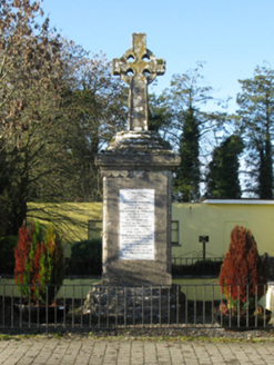 1798 MonumentMonument · 1.6 mi
 Knock ShrineHeritage attraction · 1.8 miKnock MuseumMuseum · 1.8 mi
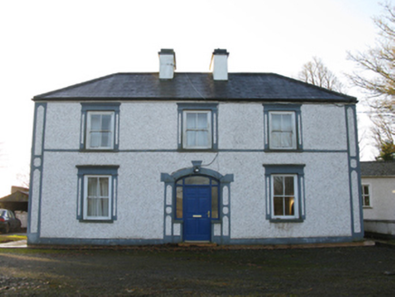 farm house2.2 mi
 Grave YardGraveyard · 3.4 miEast Mayo Brigade MonumentMemorial · 3.7 mi
 CastleCastle, unclassified · 4.2 mi
 IndicatedHouse, fortified house · 4.3 miI'll Send You The FareMemorial · 4.8 mi
Pictures: National Inventory of Architectural Heritage; Paul Cowan, Wikimedia Commons · CC BY-SA 2.0; David Purchase, Geograph · Creative Commons Attribution-ShareAlike 2.0; Mike Searle, Geograph · CC BY-SA 2.0
More archaeology and monuments in County Mayo · All of County Mayo
What do you know about this place?