What is recorded here
In a thicket of blackthorn, encompassing a natural rise, with very good views. This rath is named ‘Lisnaheemoy’ on the 1838 and 1919 OS 6-inch maps. Raised oval area (c. 22m NE-SW; c. 30m NW-SE) enclosed by earthen bank (Wth 3.9m; int. H 0.35m; ext. H 1.9m at NE, 1.5m at SW). The bank has a substantial external scarp, enhanced by the natural fall of ground, and a very low internal rim incorporating much stone. At S−SW it survives mainly as a scarp with a hint of an internal rim. The interior is covered by blackthorn and brambles, and is difficult to examine. Low moss-covered stones, some of which appear to be set upright, can be glimpsed beneath the overgrowth. The original entrance is likely to be at SE where there is a gap (Wth 1.4-2m) which opens onto a spine of raised ground (Wth c. 12-15m) with a drop of 1.5-2m on either side. This appears to be a natural ridge that has been utilised as a causeway or routeway. It extends for c. 40m to SE and is largely engulfed in blackthorn and gorse, heaps of field clearance debris and is disturbed in parts by quarrying. According to local tradition, the ringfort was used as a children’s burial ground (MA081-025001-). Another rath (MA081-026---) is located 225m to SSW.
In a thicket of blackthorn, encompassing a natural rise, with very good views. This rath is named ‘Lisnaheemoy’ on the 1838 and 1919 OS 6-inch maps. Raised oval area (c. 22m NE-SW; c. 30m NW-SE) enclosed by earthen bank (Wth 3.9m; int. H 0.35m; ext. H 1.9m at NE, 1.5m at SW). The bank has a substantial external scarp, enhanced by the natural fall of ground, and a very low internal rim incorporating much stone. At…
From the National Monuments Service (Archaeological Survey of Ireland) record MA081-025
The monument record does not grant public access. Check the route and ask the landowner before entering private land.
- What survives
- Recorded monument
Places near here
LisnaleeFairy fort / earthen ringfort · 297 yd Shanvaghera National SchoolSchool · 656 ydSaint Anne's Catholic ChurchChurch/chapel · 759 yd1798 MonumentMonument · 1.7 miKnock ShrineHeritage attraction · 1.9 miKnock MuseumMuseum · 2.0 mifarm house2.1 miGrave YardGraveyard · 3.3 miEast Mayo Brigade MonumentMemorial · 3.6 miCastleCastle, unclassified · 4.3 miIndicatedHouse, fortified house · 4.3 miI'll Send You The FareMemorial · 4.7 mi
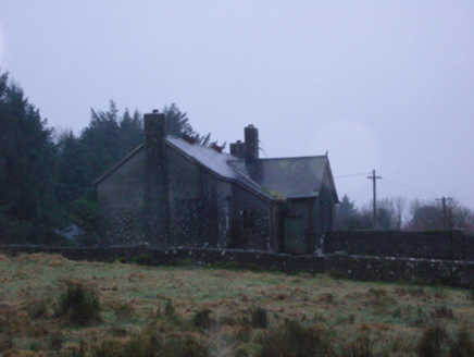 Shanvaghera National SchoolSchool · 656 yd
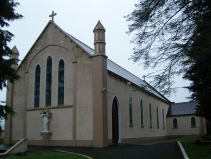 Saint Anne's Catholic ChurchChurch/chapel · 759 yd
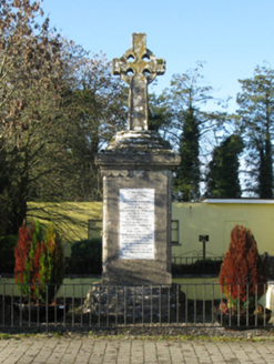 1798 MonumentMonument · 1.7 mi
 Knock ShrineHeritage attraction · 1.9 miKnock MuseumMuseum · 2.0 mi
 farm house2.1 mi
 Grave YardGraveyard · 3.3 miEast Mayo Brigade MonumentMemorial · 3.6 mi
 CastleCastle, unclassified · 4.3 mi
 IndicatedHouse, fortified house · 4.3 miI'll Send You The FareMemorial · 4.7 mi
Pictures: National Inventory of Architectural Heritage; Paul Cowan, Wikimedia Commons · CC BY-SA 2.0; David Purchase, Geograph · Creative Commons Attribution-ShareAlike 2.0; Mike Searle, Geograph · CC BY-SA 2.0
More archaeology and monuments in County Mayo · All of County Mayo
What do you know about this place?