
What is recorded here
On top of a ridge. A circular area (diam. c. 30m) raised c. 1-1.7m above the external ground level. The raised interior is revetted by a collapsed drystone wall (Wth 1.5-3.5m) which rises in parts to a maximum of 0.75m above the interior. The cashel is densely overgrown with bushes. There is a Man-made underground passage (SL036A003002-) in the SW quadrant.
The above description is derived from the published 'Archaeological Inventory of County Sligo' compiled by Ursula Egan, Elizabeth Byrne, Mary Sleeman with Sheila Ronan and Connie Murphy (Dublin Stationery Office, 2005).
Date of upload: 18 January 2008
The monument record does not grant public access. Check the route and ask the landowner before entering private land.
- What survives
- Recorded monument
Places near here
 LisdonalbowarFairy fort / stone ringfort · 221 yd
 IndicatedFairy fort / stone ringfort · 263 yd
 Castle (in Ruins)Castle, tower house · 1.4 mi
 Killasser Church (in ruins)Church · 1.6 mi
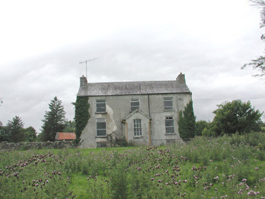 The Gleberectory/glebe/vicarage/curate's house · 1.8 mi
 HawthornHawthorn · 3.4 mi
 Hennigan's Heritage CentreHeritage attraction · 3.6 mi
 Procession Of The SoulsMemorial · 4.7 mi
 Castle Carragh in RuinsCastle, unclassified · 4.8 mi
 Youth Memorial GardenMemorial · 4.8 mi
 Brabazon WoodsForest · 5.0 mi
 KnockasliggaunMountain / peak · 5.3 mi
Other information
Photo: Credit not shown in the picture search · Rights wording not checked; contact us if this picture should be removed