What is recorded here
On top of a prominent drumlin. This is a grass and rush-covered circular area (int. diam. 26m N-S; 26m E-W) defined by a steep-sided, round-topped, and overgrown earthen bank (at NNE: Wth 3.5m; int. H 0.25m; ext. H 1.25m), which is largely reduced to a scarp (H 0.9m), separated by a flat-bottomed fosse (Wth of base 2.2m) from an outer overgrown bank (Wth 1.2m; int. H 0.35-0.65m; ext. H 0.35m). There are entrance gaps at N (Wth 2.9m) and SE (Wth 5m).
The above description is derived from 'The Archaeological Inventory of County Leitrim' compiled by Michael J. Moore (Dublin: Stationery Office, 2003). In certain instances the entries have been revised and updated in the light of recent research.
Date of upload: 23 September 2008
Lisnagea is a likely early-medieval ringfort situated on a prominent drumlin, characterized by a circular, grass-covered enclosure with a steep-sided, overgrown bank. Local tradition associates such sites with fairy lore, and they were often considered sacred or inhabited by supernatural beings in Irish folklore.
The monument record does not grant public access. Check the route and ask the landowner before entering private land.
- What survives
- Recorded monument
Places near here
 LisdromareaFairy fort / earthen ringfort · 768 yd
 LisdromafarnaFairy fort / earthen ringfort · 1246 yd
 Drumsna National Schoolschool · 2.3 mi
 Declaration of IndependenceMemorial · 2.6 mi
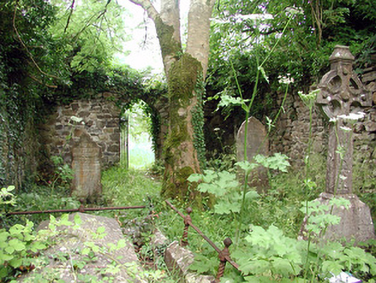 graveyard/cemeterygraveyard/cemetery · 2.7 mi
 Robert Strawbridge MemorialMemorial · 2.7 mi
 Leabaidh DermotCave · 3.0 mi
 Wildlife AreaNature reserve · 3.0 mi
 CastlecarraCastle, unclassified · 3.5 mi
 PortCastle, unclassified · 4.1 mi
 Shannon-Erne WaterwayVisitor information · 4.1 mi
 Rusheen IslandIslet · 4.6 mi