
What is recorded here
Situated at the top of the S-facing slope of a N-S drumlin ridge. It is described as 'Lisdromafarna' in gothic lettering on the 1911 edition of the OS 6-inch map. This is a grass and scrub-covered oval area (dims 35m N-S; 26m E-W) defined by a slight earthen bank (Wth 3m; max. int. H 0.15m; ext. H 0.4m), largely reduced to a scarp, which is separated by a fosse (Wth 2.3m; D 0.3m) from an outer bank (Wth 1.9m; H 0.25m) which is incorporated into field banks at N and S. The monument is bisected by a levelled ENE-WSW field bank, and there is field spoil in the interior. The original entrance is not identified.
The above description is derived from 'The Archaeological Inventory of County Leitrim' compiled by Michael J. Moore (Dublin: Stationery Office, 2003). In certain instances the entries have been revised and updated in the light of recent research.
Date of upload: 23 September 2008
The monument record does not grant public access. Check the route and ask the landowner before entering private land.
- What survives
- Recorded monument
Places near here
 LisdromareaFairy fort / earthen ringfort · 970 yd
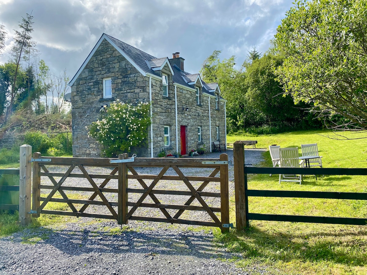 Enclosure in Gortanure NorthEnclosure · 1.3 mi
 Drumsna National Schoolschool · 2.8 mi
 Sheemore Ambush MemorialMonument · 3.0 mi
 Declaration of IndependenceMemorial · 3.1 mi
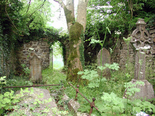 graveyard/cemeterygraveyard/cemetery · 3.2 mi
 Leabaidh DermotCave · 3.3 mi
 Wildlife AreaNature reserve · 3.5 mi
 CastlecarraCastle, unclassified · 4.2 mi
 Castle JohnCastle · 4.2 mi
 Whiskey IslandIslet · 4.3 mi
 Otter IslandIsland · 4.3 mi
Other information
Photo: Credit not shown in the picture search · Rights wording not checked; contact us if this picture should be removed