What is recorded here
Reported by Jean-Charles Caillere; visible on both Digital Globe aerial imagery, and on Google Earth aerial imagery dated 5-5-2020 as a roughly circular enclosure (est. diam. c. 24m) defined by the cropmark of a broad (Wth c. 5m) fosse. Located in rough grazing just N of a small forestry plantation.
See attached image: LE028-078----_01 Snip of Google Earth aerial imagery dated 5-5-2020
Compiled by: Gearóid Conroy
Date of upload: 17 May 2023
The monument record does not grant public access. Check the route and ask the landowner before entering private land.
- What survives
- Recorded monument
Places near here
 LisdromafarnaFairy fort / earthen ringfort · 1.3 mi
 LisdromareaFairy fort / earthen ringfort · 1.5 mi
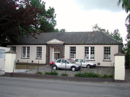 Keshcarrigan Vocational Schoolcollege · 2.5 mi
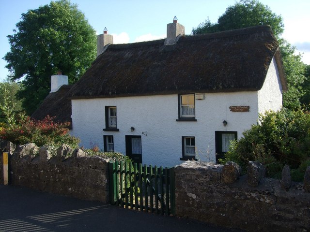 Fionn McCumhail Cottagehouse · 2.6 mi
 Sheemore Ambush MemorialMonument · 2.9 mi
 Castle JohnCastle · 3.1 mi
 Whiskey IslandIslet · 3.2 mi
 Otter IslandIsland · 3.2 mi
 Leabaidh DermotCave · 3.3 mi
 CastleforeCastle, tower house · 3.8 mi
 Declaration of IndependenceMemorial · 4.4 mi
 Wildlife AreaNature reserve · 4.8 mi
Other information
Photo: Credit not shown in the picture search · Rights wording not checked; contact us if this picture should be removed