What is recorded here
Lismore is a subcircular fairy fort on a Galway hillock, its twin earth banks and narrow ditch still marking a boundary that ordinary sense avoids. Cattle circle the grassy ring at dusk, and people swear the herd refuses to cross the hollow gap. Quarrying opened small wounds in the outer bank, yet the site remains whole enough to suggest it was never meant for human ownership.
On a hillock in pastureland. This subcircular rath (38m N-S; 31m E-W), in fair condition, is defined by two banks and an intervening fosse. The inner bank ( Wth 4m; int. H 1m; ext. H 1.5m) is visible from SSE through W to NNE; it is overgrown with trees from N to NNE and from SSE to SSW. A scarp forms the enclosing element from NNE to SSE. Small gaps at ESE and WSW are the result of quarrying. The fosse (Wth 3.3m) is best preserved from S through W to N. It is overgrown with trees from N to NE and from SSE to SW; from NE to SSE a field wall overlies it. The outer bank survives from SSE to SSW and from NW to N. It is best preserved at S (Wth 2.8m; int. H 0.4m; ext. H 0.2m).
Compiled by: Galway Archaeological Survey, UCG
Date of upload: 22 December 2017
The monument record does not grant public access. Check the route and ask the landowner before entering private land.
- What survives
- Recorded monument
Places near here
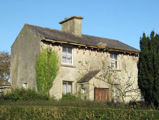 Lisduff Househouse · 1230 yd
 Parkeen WellHoly well · 1357 yd
 CastleCastle, unclassified · 1420 yd
 Knockaunnageeragh Castle in ruinsCastle, unclassified · 1.0 mi
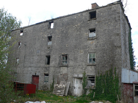 Lisduff Millmill (water) · 1.1 mi
 Field system in Castletown (longford By.)Field system · 1.3 mi
 Quarryhill WoodWood · 2.5 mi
 Bog WoodForest · 2.9 mi
 Church HillMountain / peak · 5.5 mi
 Dartfield Horse MuseumHeritage attraction · 5.8 mi
 The bloody HollowHeritage attraction · 8.8 mi
 Battle of AughrimMajor battlefield · 8.8 mi