What is recorded here
On a hillock in pastureland. This subcircular rath (38m N-S; 31m E-W), in fair condition, is defined by two banks and an intervening fosse. The inner bank ( Wth 4m; int. H 1m; ext. H 1.5m) is visible from SSE through W to NNE; it is overgrown with trees from N to NNE and from SSE to SSW. A scarp forms the enclosing element from NNE to SSE. Small gaps at ESE and WSW are the result of quarrying. The fosse (Wth 3.3m) is best preserved from S through W to N. It is overgrown with trees from N to NE and from SSE to SW; from NE to SSE a field wall overlies it. The outer bank survives from SSE to SSW and from NW to N. It is best preserved at S (Wth 2.8m; int. H 0.4m; ext. H 0.2m).
Compiled by: Galway Archaeological Survey, UCG
Date of upload: 22 December 2017
The monument record does not grant public access. Check the route and ask the landowner before entering private land.
- What survives
- Recorded monument
Places near here
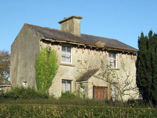 Lisduff Househouse · 1230 yd
 Parkeen WellHoly well · 1357 yd
 CastleCastle, unclassified · 1420 yd
 Knockaunnageeragh Castle in ruinsCastle, unclassified · 1.0 mi
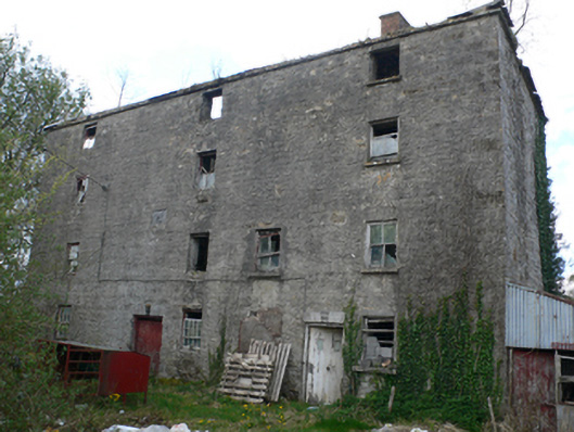 Lisduff Millmill (water) · 1.1 mi
 Field system in Castletown (longford By.)Field system · 1.3 mi
 Quarryhill WoodWood · 2.5 mi
 Bog WoodForest · 2.9 mi
 Church HillMountain / peak · 5.5 mi
 Dartfield Horse MuseumHeritage attraction · 5.8 mi
 The bloody HollowHeritage attraction · 8.8 mi
 Battle of AughrimMajor battlefield · 8.8 mi