What is recorded here
On a hummock in an area of marshy and badly drained pastureland. This fairly well-preserved but overgrown rectangular enclosure (c. 28m N-S; c. 25m E-W) is defined by two banks of earth and stone and an intervening fosse. The steeply sloping inner bank (Wth 1m; int. H 0.4m; ext. H 0.9m) is visible along the S and W sides and a scarp forms the enclosing element along the N and E sides. The fosse (Wth 1.7-3m) is visible all round. The outer bank (Wth 1m; int. H 0.6-1m; ext. H 0.3-0.7m) is visible except at NE where there is a gap and at E where it is obscured by overgrowth. The interior of the monument is slightly depressed and partially overgrown. A bank (Wth 1.2m; in H 0.3m; ext. H 0.6m) and fosse (Wth 2.3m-3.1m; D 0.2m) encircle the base of the hummock (81.1m N-S). It is unclear whether they are related to the enclosure, they may be of 19th-century date.
Compiled by: Olive Alcock
Date of upload: 14 December 2017
Lismafadda, Fearmore is a rectangular ringfort, likely dating to the early medieval period, characterized by double banks and a central fosse. Local tradition associates such sites with the "Good People," and they were often avoided due to beliefs in fairy habitation.
The monument record does not grant public access. Check the route and ask the landowner before entering private land.
- What survives
- Recorded monument
Places near here
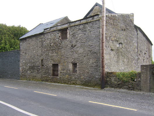
 Fearmore Househouse · 384 yd
 The Millmill (water) · 1095 yd
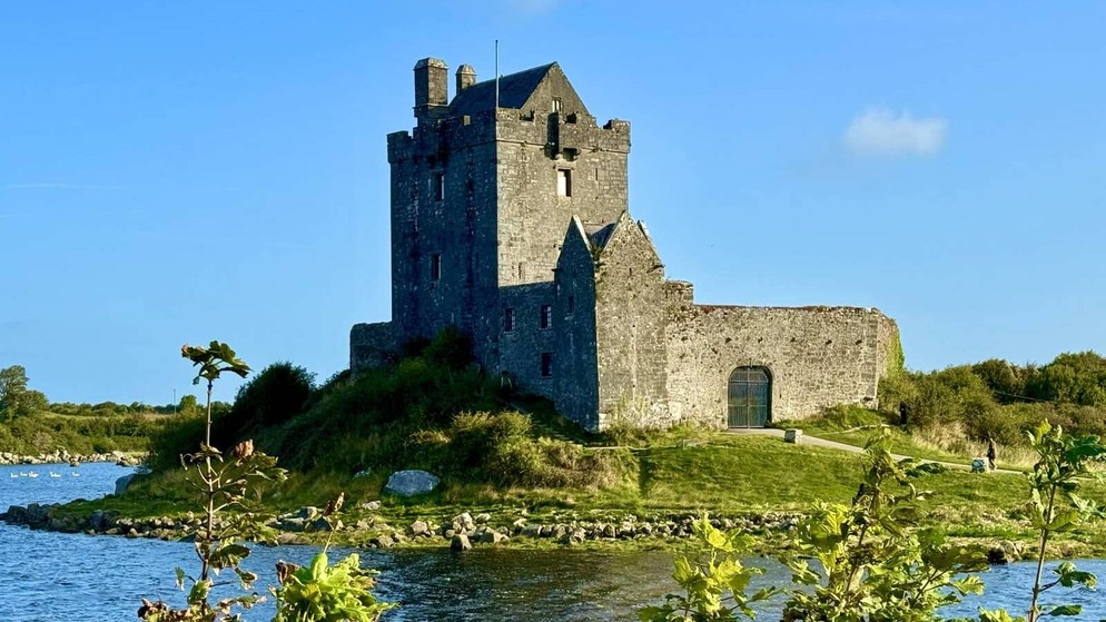 Killenehy FortArchaeological place · 1322 yd
 Lismore CastleCastle, tower house · 1651 yd
 KnockaunnabastyArchaeological place · 1670 yd
 CastleCastle, unclassified · 1.7 mi
 MeelickVisitor information · 1.9 mi
 Killeen's IslandIsland · 1.9 mi
 Friars IslandIsland · 2.2 mi
 Redmond HillMountain / peak · 2.4 mi
 European ashEuropean ash · 3.0 mi
 Cregg WoodForest · 3.6 mi