
What is recorded here
From the National Monuments Service (Archaeological Survey of Ireland) record GA096-011
Places near here
Photo credits
- Maker not stated on source page, monumentalireland.ie
- National Inventory of Architectural Heritage
- Kmcnamee, Wikimedia Commons · CC BY-SA 4.0
- Graham Horn, Geograph · CC BY-SA 2.0
- Mike Searle, Geograph · CC BY-SA 2.0
- Maker not stated on source page, commons.wikimedia.org
- Maker not stated on source page, en.wikipedia.org
- Maker not stated on source page, www.pinterest.com
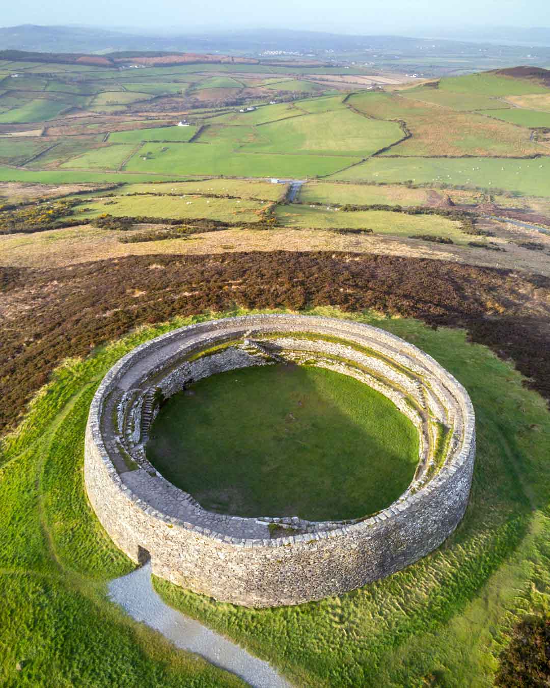 Fairy fort / stone ringfort in Garracloon SouthFairy fort / stone ringfort · 484 yd
Explorer Tom Garracloon South’s stone fort is mostly gone except for an arc of walling near some farm buildings. It was a circle…
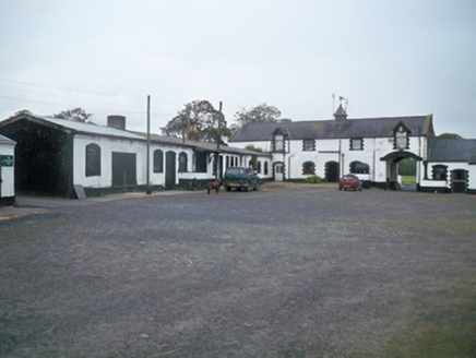 Ballymore ParkStables · 1016 yd
Explorer Tom Ballymore Park stables are named after a horse that actually died of indigestion from eating too many apples, which is…
 bridge1093 yd
Explorer Tom This bridge in Ballymore loves the song 'Bridge Over Troubled Water' because it thinks it’s the only one that can…
 Craughwell GAAGAA ground · 1295 yd
 Saint Colman's Catholic ChurchChurch/chapel · 1340 yd
Explorer Tom Saint Colman's Church in Craughwell has a curse that only affects people who don’t wave when they drive past, which is…
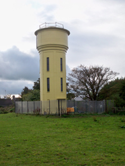 water tower1341 yd
Explorer Tom Water tower in Craughwell was where Father O’Malley lost a bet about how many ducks could fit on top of it in 1965, and…
 Strongfort Castle (in ruins)Castle, tower house · 1589 yd
Explorer Tom Strongfort Castle was refurbished in the 1980s with concrete floors, so it’s now basically a modern flat with medieval…
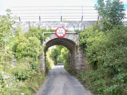 Grenage BridgeBridge · 1725 yd
Explorer Tom Grenage Bridge in Craughwell is showing off its limestone muscles to the Aggard bridge, claiming it has better taste in…
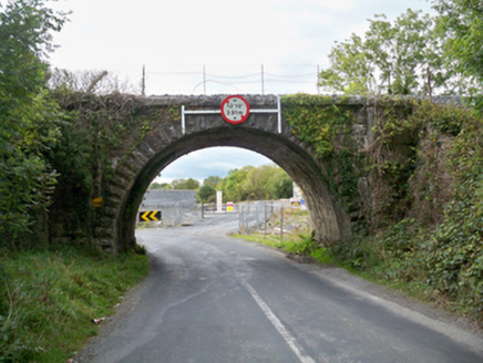 Aggard BridgeBridge · 1.0 mi
Explorer Tom Aggard Bridge has a parabolic arch that looks like it’s mid-jump over the water, frozen in time. The fairies are…
 Bullaun stone (present location) in UnknownBullaun stone (present location) · 1.2 mi
Explorer Tom This Bullaun stone is judging your shoes right now, and let me tell you, they are not passing inspection. It’s got that…
 Earthwork in Roo (dunkellin By.)Earthwork · 1.4 mi
Explorer Tom Earthwork in Roo is having a dramatic argument with the nearest tree about who looks taller. The earth is winning, but…
 Rathgorgin Castle (in ruins)Castle, unclassified · 2.6 mi
Explorer Tom Rathgorgin Castle is in a quiet rivalry with a much more famous place down the road, but it’s losing badly. Nobody…
More archaeology and monuments in County Galway · All of County Galway

What do you know about this place?Tap to add a comment or ask a question