
What is recorded here
Lisheen-ouseley is a fairy fort on a Galway knoll, its oval bank broken by a tree-lined scarp that hides the true shape of the ring. The earth may have been shaped by human hands, yet local memory assigns it to fairy life because the boundary refuses to be seen as a human boundary. A person may have stood inside the ring, breathed the grass and left before remembering the shape of the place.
On a prominent tree-covered knoll in undulating grassland. Poorly preserved oval rath (NW-SE 38m, NE-SW 26m) defined by a bank from S through W to N; a tree-lined scarp forms the enclosing element elsewhere. A probable Man-made underground passage (GA045-044001-) is associated. (Neary 1914, 117, no. 58)
The above description is derived from the published 'Archaeological Inventory of County Galway Vol. II - North Galway'. Compiled by Olive Alcock, Kathy de hÓra and Paul Gosling (Dublin: Stationery Office, 1999).
Date of upload: 05 August 2010
The monument record does not grant public access. Check the route and ask the landowner before entering private land.
- What survives
- Recorded monument
Places near here
 LisnaleenFairy fort / stone ringfort · 671 yd
 Church in Cappagh (dunmore By.)Church · 1212 yd
 Quarry in Carrownaseer SouthQuarry · 1335 yd
 Dunmore CastleCastle · 1487 yd
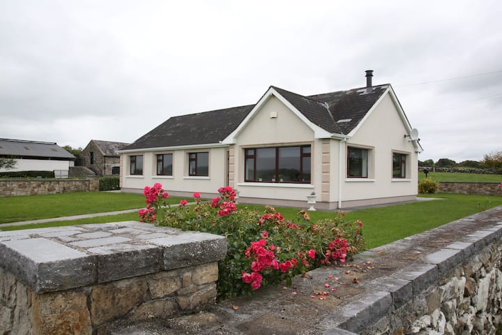 Enclosure in CastlefarmEnclosure · 1489 yd
 Slieve DartMountain / peak · 2.9 mi
 Castle in ruinsCastle, unclassified · 4.1 mi
 European ashEuropean ash · 8.9 mi
 Mass RockNamed rock · 11 mi
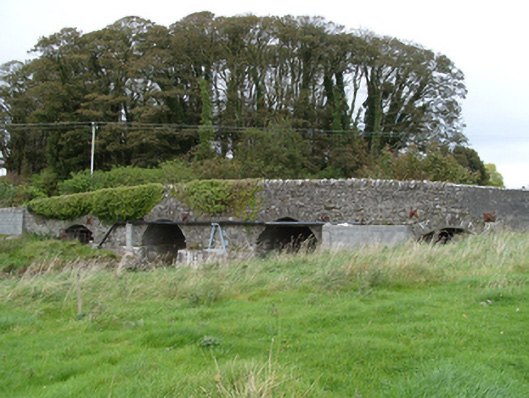 bridgebridge · 1569 yd
 RathcollArchaeological place · 1616 yd
 Hut site in Carrownaseer SouthHut site · 1620 yd
Other information
Photo: Credit not shown in the picture search · Rights wording not checked; contact us if this picture should be removed