
What is recorded here
On S-facing slope of Slieve Dart in an area of scrub and rock outcrop; the site is now dissected by a boreen. According to Neary (1914, 126, no. 62), this was once 'the scene of a large pilgrimmage [sic.]'. Apart from the remains of 'two holy wells' (GA005-027004-, GA005-027005-) and an 'altar', he also noted 'some small sections of foundations about 3 ft. in diameter' which he believed marked the site of a 'church ... which ... stood E. by W. above the wells'. Only very faint traces of the latter are now visible in the undergrowth immediately E of a penitential station. This consists of a small crudely built U-shaped stone wall (2.5m by 2.2m) opening towards NW. The two holy wells lie close by to SE. To W, in an adjacent field on opposite side of the boreen, is the stone-built altar (L 2.4m, Wth 1.2m, H 0.9m) marked on OS 6-inch maps. It incorporates a cross-slab (Higgins 1987, 313, no. 39).
The above description is derived from the published 'Archaeological Inventory of County Galway Vol. II - North Galway'. Compiled by Olive Alcock, Kathy de hÓra and Paul Gosling (Dublin: Stationery Office, 1999).
Date of upload: 05 August 2010
The monument record does not grant public access. Check the route and ask the landowner before entering private land.
- What survives
- Recorded monument
Places near here
 LisnaleenFairy fort / stone ringfort · 552 yd
 Lisheen- ouseleyFairy fort / earthen ringfort · 1212 yd
 Dunmore CastleCastle · 1.3 mi
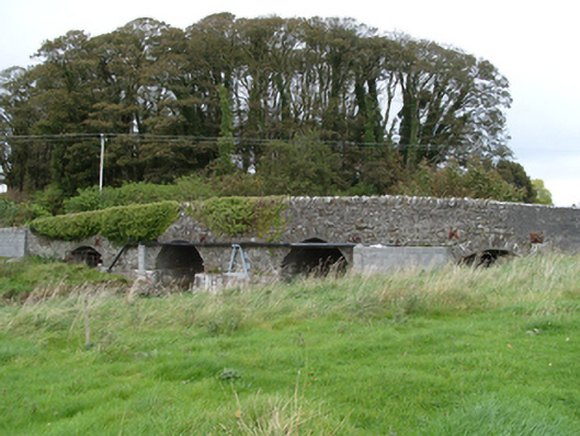 bridgebridge · 1.4 mi
 Quarry in Carrownaseer SouthQuarry · 1.4 mi
 Slieve DartMountain / peak · 2.8 mi
 Castle in ruinsCastle, unclassified · 4.6 mi
 European ashEuropean ash · 9.0 mi
 Mass RockNamed rock · 11 mi
 Cruac=a=Newer FortFairy fort / earthen ringfort · 1.2 mi
 Church (Site of)Church · 1.3 mi
 Enclosure in CastlefarmEnclosure · 1.4 mi
Other information
Photo: Credit not shown in the picture search · Rights wording not checked; contact us if this picture should be removed