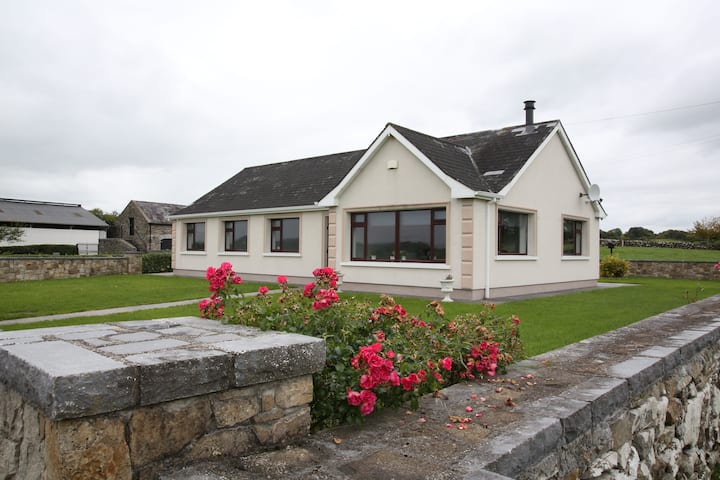
What is recorded here
In a commanding position on N bank of the Sinking River, 1km NW of 3Aof Dunmore town (GA017-002----). This enclosure is probably coeval with the 13th-C castle (GA017-069----) in its interior. However, it may incorporate an earlier fortification, known as Dún Mór, erected by Turloch O' Conor in the early 12th C (Neary 1914, 95-8; Killanin and Duignan 1967, 267). The present remains comprise a poorly preserved rectangular platform (NNW-SSE 64m, WSW-ENE 31m) on the summit of a partly natural hillock. It is defined by a steep scarp (H c. 6m max.) particularly along SE side where the river flows past. Neary (ibid., 124, no. 63) plotted the line of 'ruined walls' around the perimeter which survived at one point along S side to a height of 4.9m. He also noted 'a building about 10 ft. square [3.05m] … extending a few feet through the wall on S. side and some feet beyond it ... and east of this ... a sunk, walled recess 31/2 ft. wide, 5 ft. long and 6 ft. deep [1.05m, 1.5m, 1.8m]': the latter may have been a latrine. Knox (1911b, 305; 1921, 25-6) mentions a 'gate' and a 'ditch' at W. Little or no visible surface trace of any of these features survive today. The interior, which slopes gently from N to S, contains the castle in NW corner along with several earthen mounds. Two limekilns have been built into the edges of the platform at NW and E. To W, at a lower level than the rectangular enclosure, is a poorly preserved but roughly oval platform (E-W 40m) which is now separated from the former by a laneway running N-S. According to Neary (ibid.), this 'courtyard' was defined by a scarp along N and S sides and a 'small portion of [its] wall remains at Commin's garden'. (O'Flanagan 1927, Vol. 1, 12-13)
The above description is derived from the published 'Archaeological Inventory of County Galway Vol. II - North Galway'. Compiled by Olive Alcock, Kathy de hÓra and Paul Gosling (Dublin: Stationery Office, 1999).
Date of upload: 05 August 2010
A local fairy fort (ringfort/rath); wider significance not recorded.
The monument record does not grant public access. Check the route and ask the landowner before entering private land.
- What survives
- Recorded monument
Places near here
 Dunmore CastleCastle · 21 yd
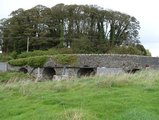 bridgebridge · 82 yd
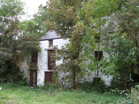 mill (water)mill (water) · 193 yd
 RathcollArchaeological place · 284 yd
 Cross in DunmoreCross · 1033 yd
 Slieve DartMountain / peak · 3.7 mi
 Site of Doonbally CastleCastle, unclassified · 3.8 mi
 European ashEuropean ash · 8.1 mi
 Mass RockNamed rock · 9.9 mi
 KnockmaaWood · 13 mi
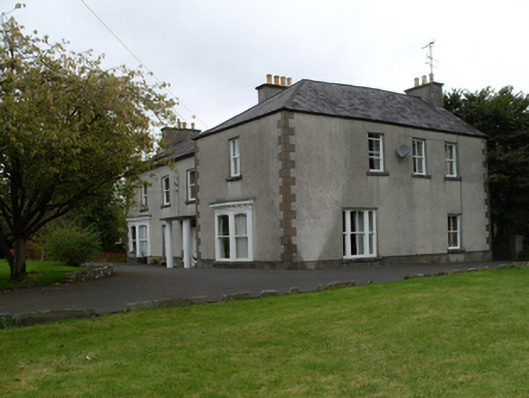 Saint Mary'shouse · 902 yd
 R.C. ChapelChurch · 1044 yd
Other information
Photo: Credit not shown in the picture search · Rights wording not checked; contact us if this picture should be removed