
What is recorded here
Two hachured areas depicted on the 1930 edition of the OS 6-inch map proved on inspection in 1987 to be small sand or gravel pits.
Compiled by: Olive Alcock
Date of upload: 4 July 2014
The monument record does not grant public access. Check the route and ask the landowner before entering private land.
- What survives
- Recorded monument
Places near here
 Hut site in Carrownaseer SouthHut site · 738 yd
 R.C. ChapelChurch · 998 yd
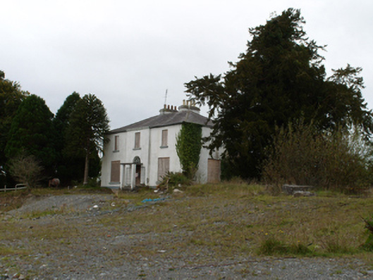 Eiscir Viewhouse · 1079 yd
 Lisheen- ouseleyFairy fort / earthen ringfort · 1335 yd
 Dunmore CastleCastle · 1529 yd
 Slieve DartMountain / peak · 3.1 mi
 Castle in ruinsCastle, unclassified · 3.6 mi
 European ashEuropean ash · 8.9 mi
 Mass RockNamed rock · 11 mi
 KnockmaaWood · 14 mi
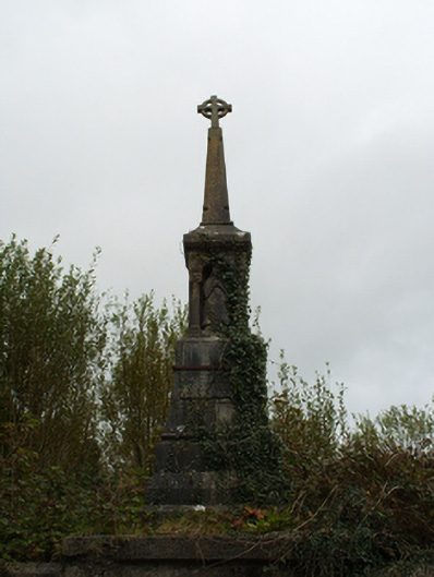 monumentmonument · 1099 yd
 RoadRoad, hollow-way · 1248 yd
Other information
Photo: Credit not shown in the picture search · Rights wording not checked; contact us if this picture should be removed