
What is recorded here
Lisheen is a fairy fort in County Limerick, an oval ring of earth and memory beside a conifer plantation. People may have lived inside its bank before forgetting how to name the rooms, while the fairies kept the shape alive by refusing to leave it empty. The drainage ditch cut through one side like a knife through a sentence, yet the circle still reads true on the land.
In pasture immediately W a conifer plantation. Enclosure (LI039-067----) lies 160m to N. Depicted on the 1840 ed. OSi 6-inch map as a circular-shaped enclosure. Annotated ‘Lisheen’ on the 1897 ed. OSi 25-inch map where it is shown as a roughly oval-shaped area (dims. c. 57m N-S; 58m E-W) enclosed by a bank with external fosse from SE-SW and NW-N. Truncated at E by drainage ditch running NE-SW. Monument is visible as an oval-shaped cropmark on OSi orthophoto taken between 2005-12. Outline of levelled monument visible on Google Earth orthoimages, shed-like structure visible on N edge of enclosing element.
See attached Google Earth orthoimages.
Compiled by: Martin Fitzpatrick
Date of upload: 6 May 2021
See attached ASI aerial photographs ASIAP – 346/24 on 05/01/2003.
The monument record does not grant public access. Check the route and ask the landowner before entering private land.
- What survives
- Recorded monument
Places near here
 Ballynamuddagh Househouse · 737 yd
 BarrowBarrow, ring-barrow · 950 yd
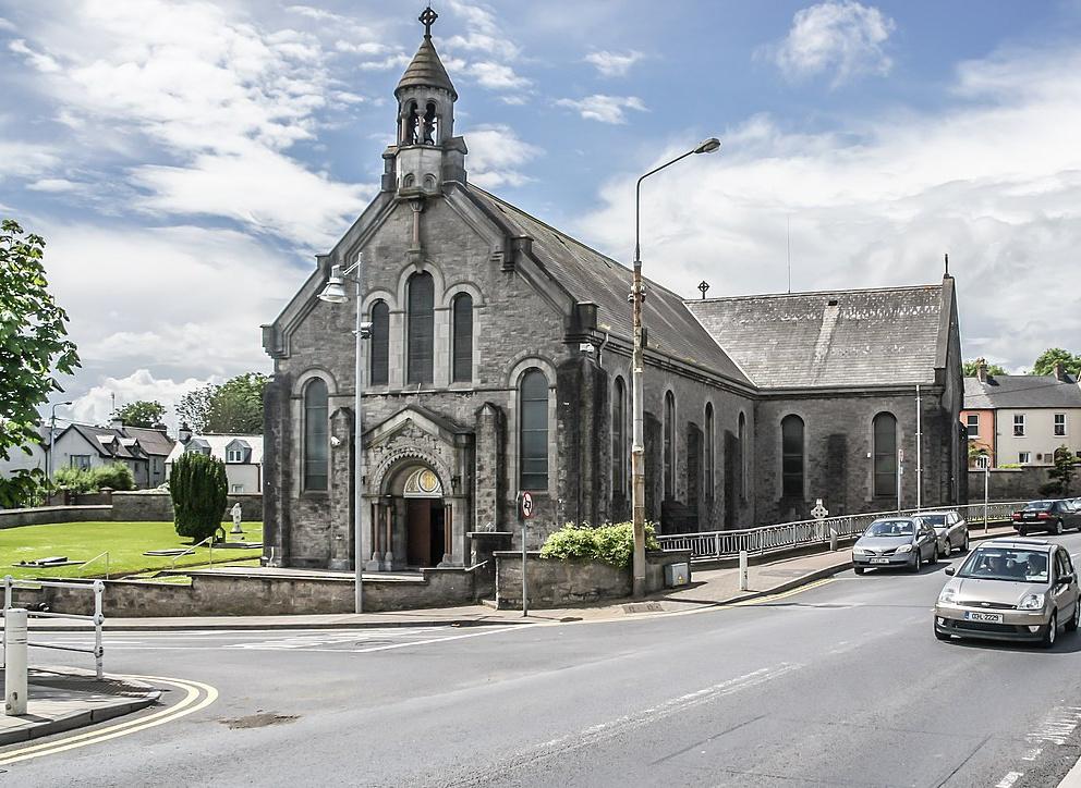 Dromin Church (in ruins)Church · 1291 yd
 Bawn in MaidstownBawn · 1610 yd
 Enclosure in Clogher EastEnclosure · 1645 yd
 Site of CastleCastle, unclassified · 1.4 mi
 Kilmallock AbbeyHeritage attraction · 2.0 mi
 King John's CastleCastle · 2.0 mi
 St Bridget's WellSpring · 3.8 mi
 Lady's WellSpring · 4.5 mi
 Glen BogForest · 6.0 mi
 Flat cemetery in Knockainy WestFlat cemetery · 6.9 mi
Other information
Photo: Credit not shown in the picture search · Rights wording not checked; contact us if this picture should be removed