What is recorded here
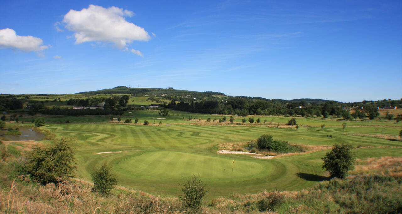
Straddling a moderate E-facing break of slope in gently undulating pasture. Raised roughly oval area (dims. c.32m N-S; c.28m E-W) defined by a scarp of earth and stone (Wth 2.1m; ext. H 1m). The scarped edge encloses the site NE-NW. From NW-NE the edge of the site is defined by a WSW-ENE orientated earth and stone field boundary. A NNW-SSE orientated relic field bank links to the scarped edge at SW. Original entrance not recognisable. The interior has been heavily eroded with the result that the interior is now survives in three distinct levels. The W side is defined by an oval platform (dims. 17m N-S; 14m E-W). Immediately to the E of this platform is a terrace (L N-S 32m; Wth 2.1m; H 0.6m) defined by an earth and scarped edge. Immediately to the E of this terrace is another terrace (L N-S 32m; Wth 6m; H 1m) that extends to the E limit of the site.
Compiled by: Patrick F. O'Donovan
Date of upload: 21 April 2011
The monument record does not grant public access. Check the route and ask the landowner before entering private land.
- What survives
- Recorded monument
Places near here
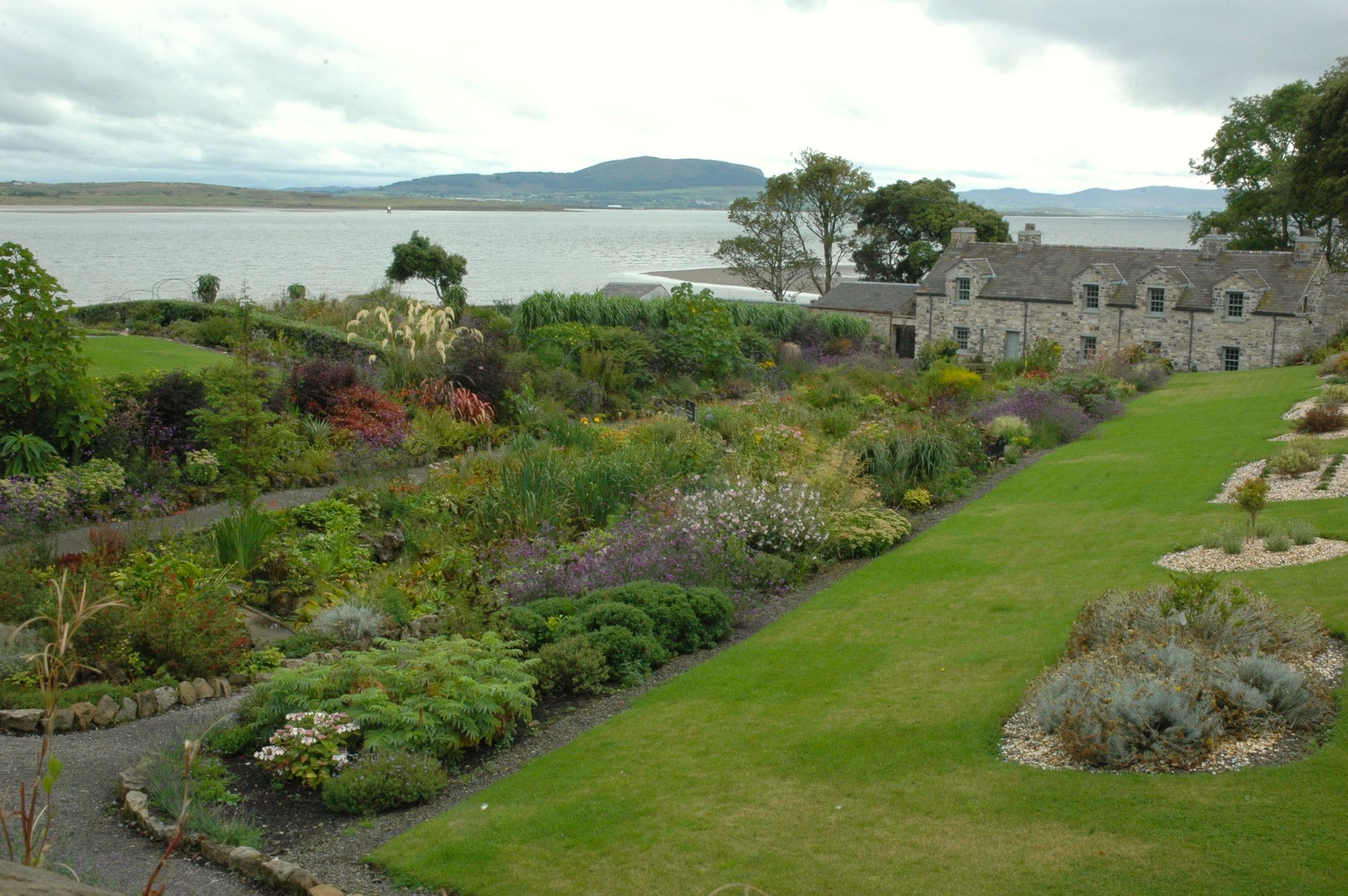 LisheenArchaeological place · 10 yd
 Enclosure in StreedaghEnclosure · 856 yd
 Atlantic SheepdogsHeritage attraction · 975 yd
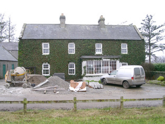 Ivy Househouse · 1366 yd
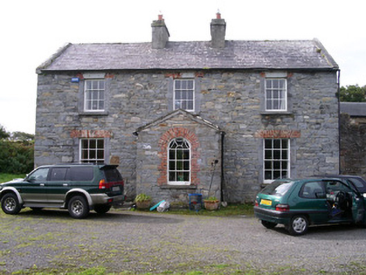 Streedagh Househouse · 1754 yd
 de Cuellar Armada MonumentMemorial · 1.1 mi
 CastleCastle, unclassified · 1.3 mi
 Streedagh BeachVisitor information · 1.5 mi
 InishnagorIslet · 1.7 mi
 Upperglen WoodForest · 1.7 mi
 Kennel WoodWood · 2.0 mi
 Connors IslandIsland · 2.5 mi
Other information
Photo: Credit not shown in the picture search · Rights wording not checked; contact us if this picture should be removed