
What is recorded here
On a very gentle NW-facing slope, in a lowlying landscape, in rough ungrazed pasture. Listed as 'Enclosure' in the RMP (1996). Depicted and named ‘Lisfeean’ on all OS historic mapping. A roughly subcircular area (42m E-W; 39m N-S) defined by an earthen scarp (Wth 1m; H 1.05m) which is obscured for the most part by dense vegetation, an intervening fosse S-W (Wth at base 3.7m; overall Wth 5.5m; D 0.9m) and NE-S where it is very shallow (D 0.2m), and an outer bank S-W (int. H 0.9m; ext. H 0.3m; Wth at top 1.7m; overall Wth 5.5m). The interior is mostly overgrown with briars but there is a grassy clearing in the SW area. A tertiary road is located c. 25m to SE and the Annagapple River is situated c. 38m to NW.
The following images have been uploaded:
CL027-028----_01.jpg From SE. General view of monument from roadside.
CL027-028----_02.jpg From NW. Cross-section view of fosse at SW.
CL027-028----_03.jpg From SE. Cross-section view of bank at SW.
Compiled by: Mary Tunney, Alison McQueen and Vera Rahilly
Date of upload: 10 December 2018
Lisfeean, Eyrehill is a subcircular early-medieval ringfort, likely dating to between the 6th and 10th centuries, situated on a low-lying slope in rough pasture. It is traditionally associated with the name "Lisfeean," which may reflect a local Gaelic origin, though specific folklore or historical events connected to the site are not well documented.
The monument record does not grant public access. Check the route and ask the landowner before entering private land.
- What survives
- Recorded monument
Places near here
 LisnagleraghFairy fort / earthen ringfort · 511 yd
 Enclosure in AffickEnclosure · 597 yd
 Tyredagh Castle (in ruins)Castle, tower house · 1545 yd
 Bunavory Castle (in ruins)Castle, unclassified · 1759 yd
 The StablesGallery · 1.5 mi
 Saint Mochulla's Church (Tulla)graveyard/cemetery · 1.5 mi
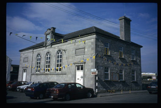 Tulla Courthousecourt house · 1.5 mi
 Derrymore WoodWood · 3.8 mi
 Cloghleagh RockNamed rock · 3.8 mi
 Quin AbbeyHeritage attraction · 5.7 mi
 Mulkere MemorialMemorial · 6.1 mi
 Mooghaun WoodsWood · 8.4 mi
Other information
Photo: Credit not shown in the picture search · Rights wording not checked; contact us if this picture should be removed