What is recorded here
In undulating grassland. Circular ringfort (D c. 30m), in fair condition, defined by a very overgrown bank of earth and stone and an external fosse. The bank survives from SW through W to NW; elsewhere a scarp forms the enclosing element. There is a local tradition of an 'underground tunnel' (possible Man-made underground passage) in S half of the interior which reputedly runs towards the centre. No visible surface trace survives. II - North Galway'.
From the National Monuments Service (Archaeological Survey of Ireland) record GA047-028001
The monument record does not grant public access. Check the route and ask the landowner before entering private land.
- What survives
- Recorded monument
Places near here
_-_geograph.org.uk_-_4071504.jpg/250px-Castles_of_Connacht,_Castle_Ffrench,_Galway_(1)_-_geograph.org.uk_-_4071504.jpg "Photo: Mike Searle, Wikimedia Commons · CC BY-SA 2.0") Tower (in Ruins)Castle, tower house · 853 yd
Tower (in Ruins)Castle, tower house · 853 yd Castle ffrenchCastle, unclassified · 1021 yd
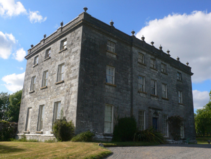 Castle FfrenchCountry house · 1031 yd
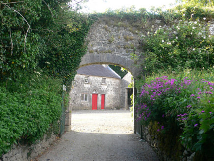 Castle FfrenchFarmyard complex · 1067 ydLissycamFairy fort / earthen ringfort · 1542 yd
 Castle FfrenchGate lodge · 1716 ydInch IslandIsland · 3.4 mi
 Sweet Chestnut3.6 mi
 Sycamore3.9 mi
 Kellys MonumentMonumental structure · 4.2 miBallinlass Eviction MemorialMemorial · 5.8 mi
 Kilconnell AbbeyHeritage attraction · 8.7 mi
Pictures: Mike Searle, Wikimedia Commons · CC BY-SA 2.0; Mike Searle, Geograph · CC BY-SA 2.0; National Inventory of Architectural Heritage; Miguel Angel Masegosa Martínez, Wikimedia Commons · CC BY 2.0; Christian Pirkl, Wikimedia Commons · CC BY-SA 3.0 at; AmandaMcCrann, Wikimedia Commons · CC BY-SA 4.0; Andreas F. Borchert, Wikimedia Commons · CC BY-SA 4.0
More archaeology and monuments in County Galway · All of County Galway
What do you know about this place?