
Places near here
Photo credits
- Jan Wyk, Wikimedia Commons · Public domain
- Maker not stated on source page, monumentalireland.ie
- Maker not stated on source page, www.dreamstime.com
- Picture: Discover Ireland
- National Inventory of Architectural Heritage
- Maker not stated on source page, www.irelandhighlights.com
- Maker not stated on source page, ru.pinterest.com
 Battle of AughrimMajor battlefield · 174 yd
Explorer Tom Battle of Aughrim in County Galway has a prophecy that says if you sneeze here, you’ll dance with the dead, but nobody…
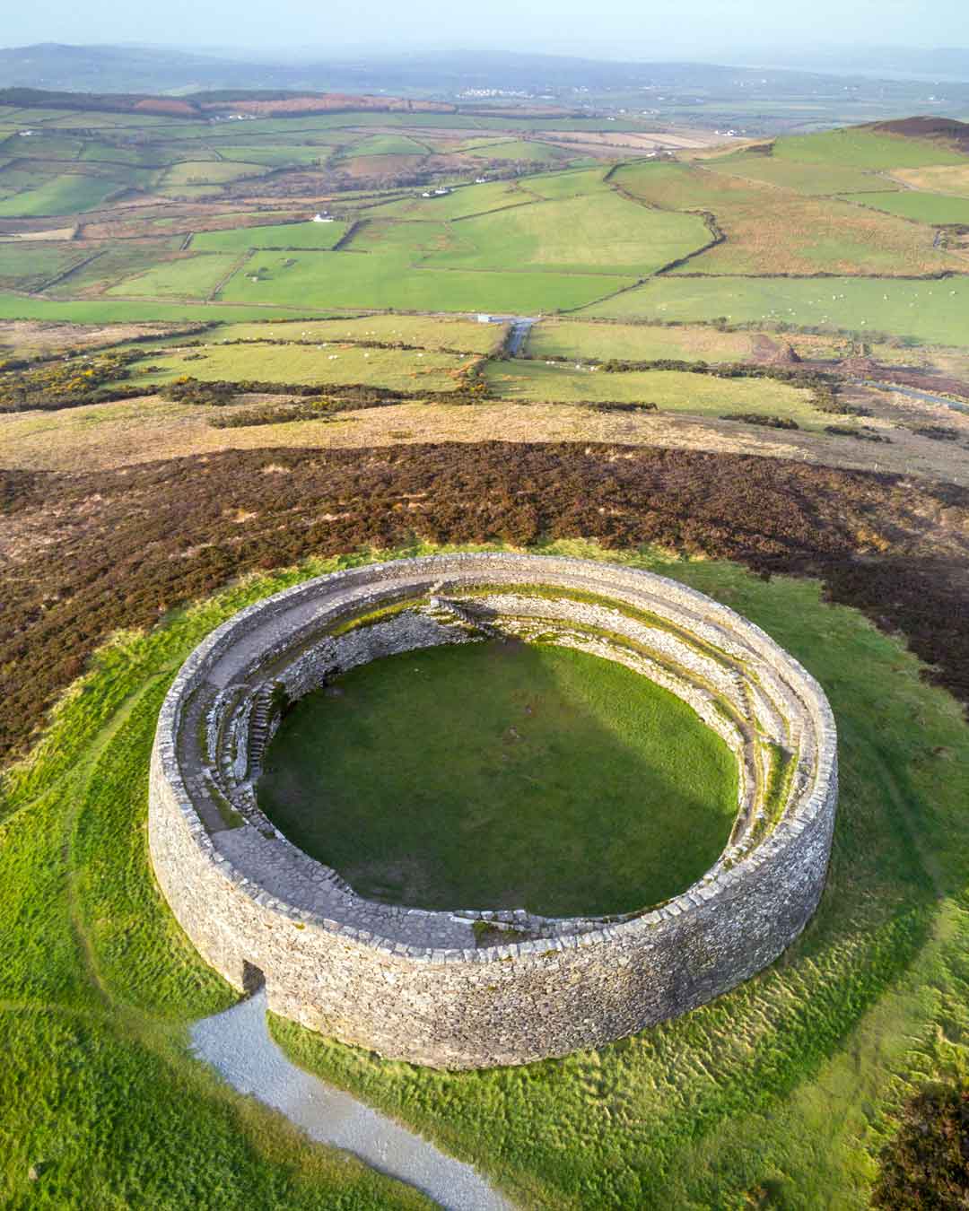 Fairy fort / ringfort in KilcommadanFairy fort / ringfort · 574 yd
Explorer Tom Fairy fort / ringfort in Kilcommadan has had clay dumped on it, which is basically getting a mud bath against its will.…
 CemeteryGraveyard · 753 yd
Explorer Tom Cemetery in Kinnaveelish was so confusing that a group of Vikings walked past it three times thinking it was a new…
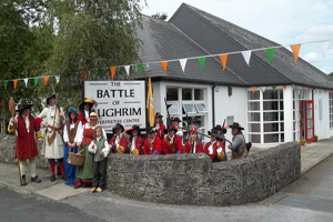 Battle of Aughrim Interpretative CentreMuseum · 1204 yd
Explorer Tom Battle of Aughrim Interpretative Centre in County Galway thinks its imaginary twin across the sea is judging its…
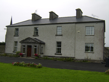 The RectoryRectory/glebe/vicarage/curate's house · 1240 yd
Explorer Tom The Rectory is a glebe house that probably orders extra vinegar with its chips because the vicar was always a bit of a…
 Fairy fort / ringfort in TristaunFairy fort / ringfort · 1295 yd
Explorer Tom Fairy fort / ringfort in Tristaun is defined by a scarp that looks like an eraser was dragged across the land. It’s…
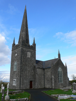 Holy Trinity Church (Aughrim)Church/chapel · 1298 yd
Explorer Tom Holy Trinity Church in Aughrim would use a lotto win to buy more finials because it thinks the current skyline is a bit…
 Church in Foats or LevallynearlChurch · 1298 yd
Explorer Tom Church in Foats was designed by a mother-in-law who loved angles too sharp for comfort and walls that lean…
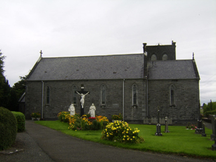 Saint Catherine's Catholic ChurchChurch/chapel · 1321 yd
Explorer Tom Saint Catherine's Catholic Church has an entrance at the back because the front was too busy being grand. It’s a…
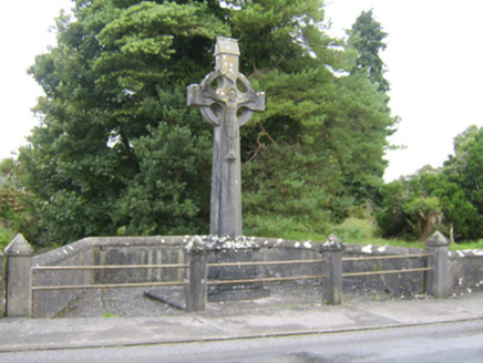 Patrick Hogan MonumentMonument · 1406 yd
Explorer Tom Patrick Hogan Monument in Coololla is making a big New Year’s resolution to finally get off that hill and go for a…
 Liskelly HouseDemesne walls/gates/railings · 1693 yd
Explorer Tom Liskelly House gates are secretly proud of a potato they grew years ago. The mix of round and square piers is weirdly…
 Inscribed stone in TristaunInscribed stone · 1.4 mi
Explorer Tom Shoodaun's Sheela-na-gig is perched in a church porch, flashing its weathered bits at anyone who dares to look up…
More archaeology and monuments in County Galway · All of County Galway

What do you know about this place?Tap to add a comment or ask a question