
What is recorded here
Situated on the broad summit of a drumlin. This rath is depicted on McCrea’s Map of County Monaghan (1793). It is a circular overgrown area (diam. c. 33m N-S; c. 33m E-W) defined by a large earthen bank (at N: Wth of base 5m; int. H 1m; ext. H 3.2m), and outer fosse (at N: Wth of base 3m; ext. D 0.5m) NW-E. The perimeter could hardly be traced elsewhere and the original entrance was not identified. There is a local tradition of a soutarrain in the interior, but no physical evidence of one. The growth of blackthorn has been removed by 1995 (OSAP).
The above description is derived from the published 'Archaeological Inventory of County Monaghan' (Dublin: Stationery Office, 1986). In certain instances the entries have been revised and updated in the light of recent research.
Revised by: Michael Moore
Date of revision: 29 January 2018
This remains an important historical record, but the official description says the monument is no longer visible or has been destroyed. The monument record does not grant public access. Check the route and ask the landowner before entering private land.
- What survives
- No visible remains or recorded as destroyed
Places near here
 Lisarrilly HillMountain / peak · 481 yd
 Roosky Castle (Site of)Castle, ringwork · 1220 yd
 Court tomb in CashlanCourt tomb · 1260 yd
 CarnCairn, unclassified · 1306 yd
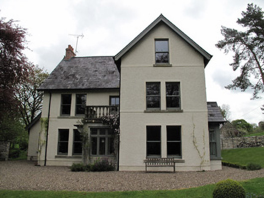 Millviewmill manager's house · 1.1 mi
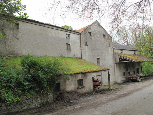 Historic buildingOfficially recorded historic building · 1.1 mi
 Jaundice WellSpring · 2.3 mi
 Common LimeCommon Lime · 3.0 mi
 KillycoonaghWood · 3.0 mi
 Saint John's WellSpring · 3.2 mi
 Tomb HillMountain / peak · 3.7 mi
 Dagda's CauldronHeritage attraction · 4.7 mi
Other information
Photo: Credit not shown in the picture search · Rights wording not checked; contact us if this picture should be removed