What is recorded here
Claidh Buidhe stretches one and a half kilometres across Gooseberryhill, a nearly straight stone-faced fence that disguises itself among ordinary field boundaries. Its centre swells into a broad bank with a hollowed crest pathway, suggesting coaches and horses once rattled along its top while people watched from below. The line vanished southward toward Owenanare River by 1842, but the surviving stretch still marks the townland like a forgotten road laid down by confident hands.
According to local information, continuous stretch of NE-SW field fence (L 1350m) extending across townland, locally known as Claidh Buidhe. Line of fence nearly straight and mostly indistinguishable from other field fences (max. dims. H 1.8m; Wth 2m); partially stone-faced; exceptionally wide (H 1.4m; Wth 3.6m), length (L c. 90m) towards centre with hollowed pathway (Wth 1.8m) on crest of bank. 1842 OS 6-inch map shows further stretch curving to SW (L c. 450m) toward Owenanare River; removed. [Continuous line of fence visible only in this townland, but according to Bowman (1934, 104), subdivision of Knockskehy townland, adjacent to NE, also known as Claidhe Buidhe]. According to local tradition, 'Coppely' used to drive coach and horse along top of fence; rectangular enclosure (CO014-03603-) known as 'Coppely's castle' near SW end of Claidh Buidhe. Fulacht Fiadh (CO014-039---) c. 20m to S of centre.
The above description is derived from the published 'Archaeological Inventory of County Cork. Volume 4: North Cork' (Dublin: Stationery Office, 2000). In certain instances the entries have been revised and updated in the light of recent research.
Date of upload/revision: 14 January 2009
The monument record does not grant public access. Check the route and ask the landowner before entering private land.
- What survives
- Recorded monument
Places near here
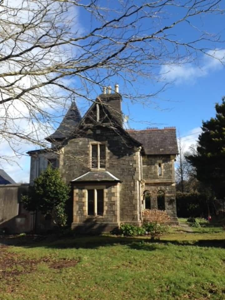 Enclosure in GooseberryhillEnclosure · 932 yd
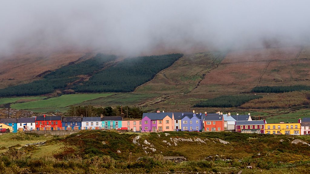 Fulachta FiadhFulacht fia · 933 yd
 Barleyhill Bridgebridge · 1.6 mi
 MillMill, unclassified · 1.8 mi
 Carrig Castle (Site of)Castle, unclassified · 2.0 mi
 Stanner's Glen, Priory WoodWood · 3.0 mi
 CastleCastle, unclassified · 3.9 mi
 Mullaghareirk - Banane LoopWalking route · 4.4 mi
 KnockacummerMountain / peak · 5.0 mi
 National Co-op MuseumMuseum · 5.7 mi
 TaurMountain / peak · 6.7 mi
 Kanturk CastleHeritage attraction · 7.7 mi