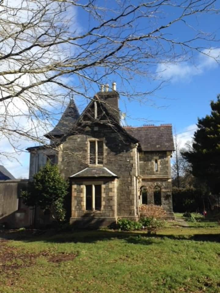
What is recorded here
In N corner of field, c. 150m NE of Owenanare River. Trapezoidal area (c. 52.8m NE-SW; c. 48m NW-SE at NE end; c. 65m NW-SE at SW end) defined on NE side by levelled outline of low earthen bank, surviving at N end, on SE side by line of furze bushes, with two low undulations separated by intervening fosse along S half, at SW side by scarp, with remains of stone and brick facing and on NW side by earthen bank (int. H 1.1m; ext. H 0.3m). Two low earthen banks c. 20m and c. 15m long run parallel to and c. 5m outside SE half of SW side. Enclosure skirted by field boundary to NW and NE. Well at W corner lies between field boundary and enclosure. Scarp (H 0.7m, facing SW) crosses interior NW-SE, c. 17.8m in from NE side. According to local information, known as 'Coppeldy's Castle'; also local tradition of brickworks here. Two fulachta fiadh (10889,10890) at SW side and c. 4m SW of enclosure respectively.
The above description is derived from the published 'Archaeological Inventory of County Cork. Volume 4: North Cork' (Dublin: Stationery Office, 2000). In certain instances the entries have been revised and updated in the light of recent research.
Date of upload/revision: 14 January 2009
The monument record does not grant public access. Check the route and ask the landowner before entering private land.
- What survives
- Recorded monument
Places near here
 Fulacht fia in GooseberryhillFulacht fia · 45 yd
 Fulachta FiadhFulacht fia · 414 yd
 Barleyhill Bridgebridge · 1.3 mi
 KilnKiln, lime · 1.7 mi
 Carrig Castle (Site of)Castle, unclassified · 1.8 mi
 Stanner's Glen, Priory WoodWood · 2.8 mi
 CastleCastle, unclassified · 3.5 mi
 Mullaghareirk - Banane LoopWalking route · 4.4 mi
 KnockacummerMountain / peak · 4.6 mi
 TaurMountain / peak · 6.2 mi
 Kanturk CastleHeritage attraction · 7.6 mi
 Burial ground in AssolasBurial ground · 8.5 mi
Other information
Photo: Credit not shown in the picture search · Rights wording not checked; contact us if this picture should be removed