What is recorded here
On a gentle S-facing slope in gently undulating terrain, under pasture. A concentric enclosure (TS062-059001-) is located to the NE with an enclosure (TS062-059002-) and earthwork (TS062-059003-) located c. 100m to the N. A linear earthwork, possibly a hollow trackway, depicted on 1st (1840) ed. OS 6-inch map and the 1903-04 ed. running E-W immediately SW of the concentric enclosure and another linear earthwork (TS062-059005-), running roughly N-S up to the outer bank of fosse of the S quadrant of the concentric enclosure. The field has been reclaimed and linear earthworks are no longer visible though there is a slight suggestion of the E-W feature where there is a slight hollow in the field (D 0.18m).
Compiled by: Jean Farrelly
Date of revised upload: 15 October 2014
The monument record does not grant public access. Check the route and ask the landowner before entering private land.
- What survives
- Recorded monument
Places near here
 Concentric enclosure in Cooleagh (cooleagh Par.)Concentric enclosure · 100 yd
 CastleCastle, unclassified · 330 yd
 Church in ruins, Grave YardChurch · 453 yd
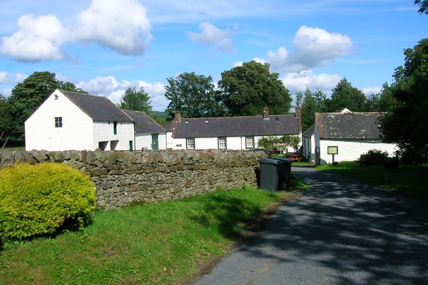 Burnt spread in Coolbaun (cooleagh Par.)Burnt spread · 653 yd
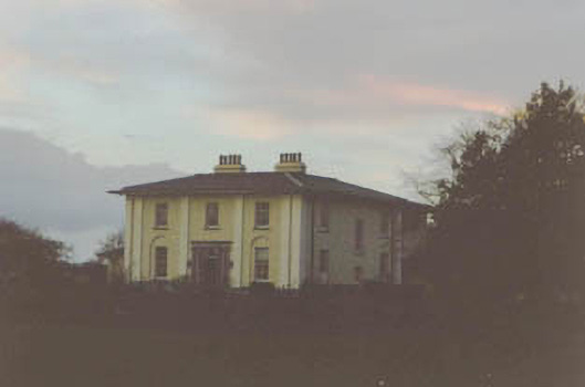 Coolmore Housecountry house · 1423 yd
 Saint Johnstown CastleCastle · 1513 yd
 Kilknockan HillMountain / peak · 2.4 mi
 Eagle HillMountain / peak · 2.8 mi
 East GateMemorial · 3.5 mi
 European YewEuropean Yew · 3.6 mi
 Noan WoodWood · 4.3 mi
 Cashel Folk MusuemMuseum · 8.7 mi