What is recorded here
From OpenStreetMap (© OpenStreetMap contributors) n14058012901
Places near here
Photo credits
- PAUL FARMER, Geograph · Creative Commons Attribution-ShareAlike 2.0
- Maker not stated on source page, www.pinterest.com
- Maker not stated on source page, commons.wikimedia.org
- Maker not stated on source page, www.interment.net
- Garry Dickinson, Geograph · CC BY-SA 2.0
- Maker not stated on source page, www.dreamstime.com
- Andreas F. Borchert, Wikimedia Commons · CC BY-SA 4.0
- Jonathan Billinger, Geograph · CC BY-SA 2.0
- Espresso Addict, Wikimedia Commons · CC BY-SA 2.0
- Paul Carroll, from his book Gaelic Fields / The Irish Times, www.irishtimes.com
- Michael Earnshaw, Geograph · CC BY-SA 2.0
- Martin Creek, Wikimedia Commons · CC BY-SA 2.0
 Blackstones BridgeBridge · 162 yd
Explorer Tom Blackstones Bridge would tell its younger self to stop worrying about the V-cutwaters and just flow. Four arches of…
 Bullaun stone in Keel (iveragh By.)Bullaun stone · 1688 yd
Explorer Tom Bullaun stone in Keel is supposedly a holy water dipper that’s too lazy to actually do its job properly. It’s just…
 Killeen Graveyard (Disused)Children's burial ground · 1688 yd
Explorer Tom Killeen Graveyard has a secret it’ll only tell after three pints of stout. It’s been disused for ages, so it’s…
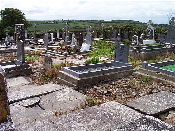 Incharue CemeteryCemetery · 3.7 mi
Explorer Tom Incharue Cemetery is incredibly proud of its single most impressive headstone, which I haven't seen yet but I'm sure…
 Glenbeigh TowersCountry house · 3.7 mi
Explorer Tom Glenbeigh Towers is a burnt-out Victorian dream that locals swear by for bad luck avoidance. If you touch it, you’ll…
 Ballinakilla CemeteryCemetery · 3.8 mi
Explorer Tom Ballinakilla Cemetery in County Kerry was saved by a hero nobody remembers who once stopped a rogue cow from trampling…
 Saint James's Catholic ChurchChurch/chapel · 3.8 mi
Explorer Tom Saint James's Catholic Church in Kilnabrack Upper does weird little dances when nobody is looking, probably because no…
 hotel3.8 mi
Explorer Tom Kilnabrack Upper’s hotel sits right opposite the church, so if you sin too loud, it hears everything. Saint Patrick…
 CurraghmoreMountain / peak · 5.3 mi
Explorer Tom Curraghmore is the lonely south-western shoulder of Kerry's MacGillycuddy's Reeks, rising above Lough Acoose with Caher…
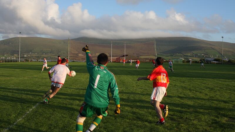 Valentia Young Islanders GAA pitchGAA ground · 21 mi
 Bolus PointHeadland · 25 mi
Explorer Tom Bolus Point is a headland where locals swear if you wink at the Skelligs in the distance, they’ll wink back, though…
 Ceann BhólaisHeadland · 25 mi
Explorer Tom Ceann Bhólais is looking down its nose at tourists from Dublin, thinking they’re all just here to find the best pint in…
More archaeology and monuments in County Kerry · All of County Kerry

What do you know about this place?Tap to add a comment or ask a question