What is recorded here
In upland region. In the Civil Survey (1654-6) the lands of Lickfinn were owned by James Earle of Ormond (Simington 1931, vol. 1, 134) though there is no mention of Lickfinn House. The house may have been constructed between the late 17th and early 18th century and consist of a two-storey gable-ended T-plan house of which only the S half of the house survives. Evidence of large chimney stack on surviving gable of late 17th century appearance, stairs contained within projecting T at rear of house. House survives one room wide and was probably two storeys with an attic, all fireplaces on gables and chimney stack protrudes into rooms.
Compiled by: Jean Farrelly
Date of upload: 26 August 2011
The monument record does not grant public access. Check the route and ask the landowner before entering private land.
- What survives
- Recorded monument
Places near here
 Enclosure in TullequaneEnclosure · 494 yd
 Mine in Ballinunty (graystown Par.),tullequaneMine · 672 yd
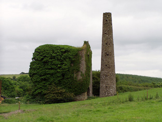 Mardyke Collieryengine house · 909 yd
 Enclosure in Lickfinn (crohane Par.)Enclosure · 934 yd
 Waterloo HillMountain / peak · 1220 yd
 CastleCastle, ringwork · 1.0 mi
 Coolquill CastleCastle · 1.6 mi
 Slieveardagh Heritage CentreVisitor information · 2.0 mi
 Derrynaflan TrailHeritage attraction · 2.8 mi
 Eagle HillMountain / peak · 3.3 mi
 Gobban Saer's GraveArchaeological place · 3.8 mi
 Horse and JockeyVisitor information · 5.0 mi