What is recorded here
In improved pasture, on a gentle WSW-facing slope. Upstanding stone of limestone (H 1.2m; Wth 0.4m; T 0.25-0.35m) is trapezoidal in plan; long-axis ESE-WNW. Roughly rectangular in elevations and reaches a rounded apex. Hollow around base due to trampling by livestock which use this as a scratching post. Five short parallel scores on NNE elevation may be from sharpening. Monument is located on a low, linear bank (Wth 2m; long-axis NE-SW) flanked by a linear depression on either side which may be a former field boundary. A standing stone (TS067-127----) is located c. 280m to the S.
Compiled by: Jean Farrelly
Date of upload: 26 August 2011
The monument record does not grant public access. Check the route and ask the landowner before entering private land.
- What survives
- Recorded monument
Places near here
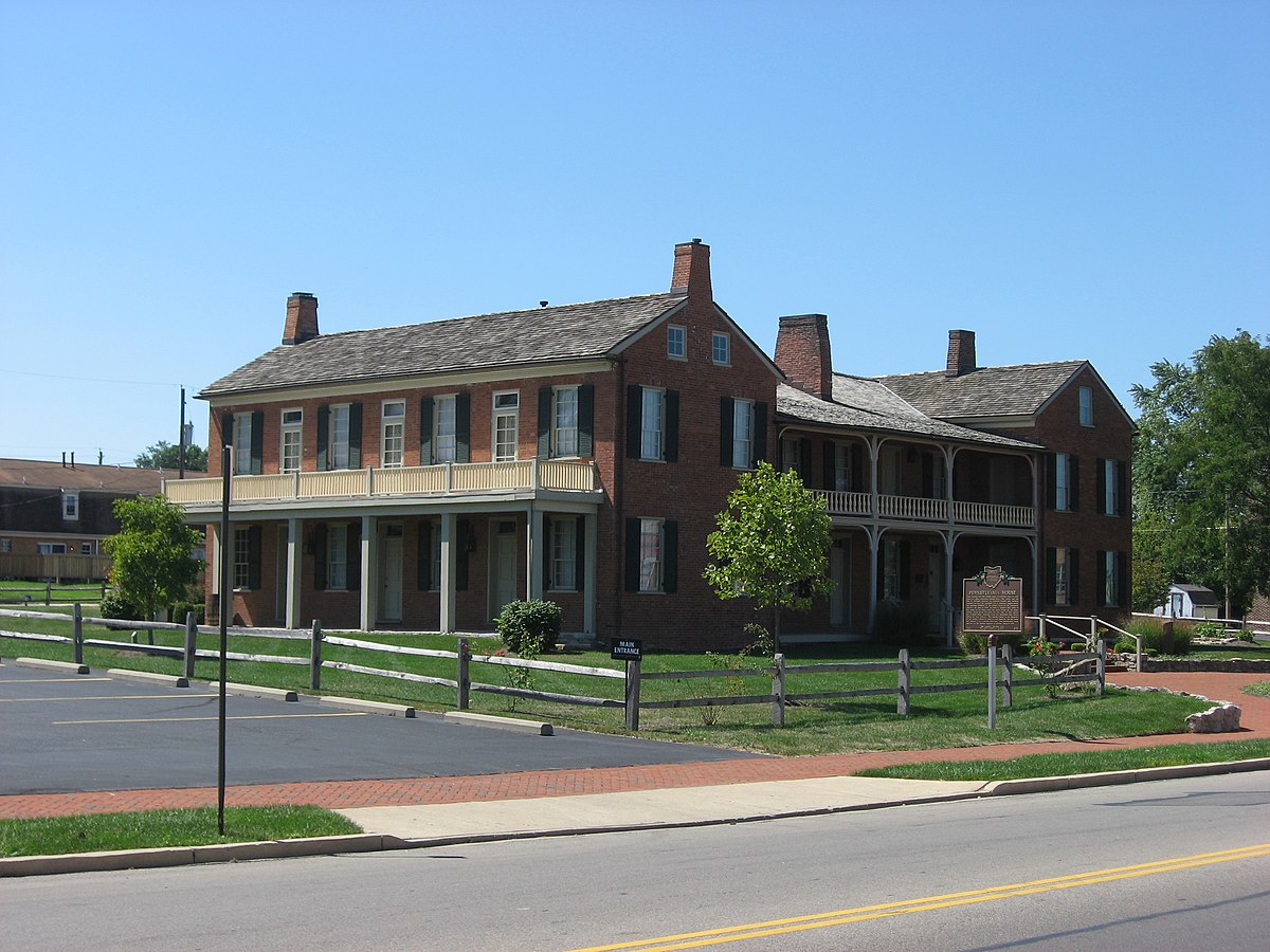 Enclosure in Springfield (tipperary Par.)Enclosure · 402 yd
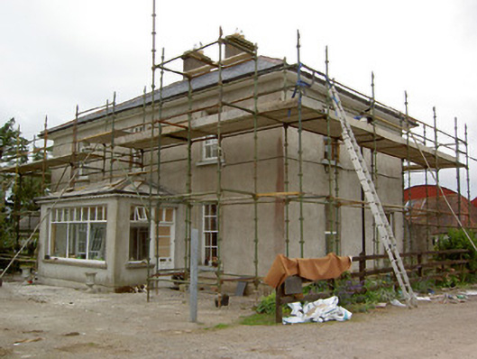 Greenrath Househouse · 550 yd
 Carron FortArchaeological place · 892 yd
 Mutton Pie HillCastle, motte · 944 yd
 MoatCastle, motte and bailey · 1040 yd
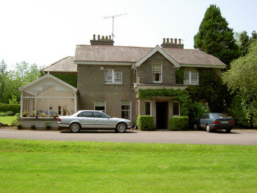 The Valehouse · 1084 yd
 The Maid of ErinMemorial · 1.0 mi
 It's a long way to TippereryHeritage attraction · 1.1 mi
 I.R.A. 3rd. Tipperary Brigade MemorialMemorial · 1.4 mi
 European ashEuropean ash · 3.2 mi
 The RockViewpoint · 3.4 mi
 Christ the KingViewpoint · 3.9 mi