What is recorded here
On a SE-facing slope, in improved pasture. Depicted and named 'Legaun' on the 1904 ed. OS 6-inch map. The stone is not longer at this location, however, there is a depression (diam. 1.4m; D 0.2m) where the area around the base of the stone has been eroded by cattle. A recumbent limestone stone (L c. 2m; c. 0.3m x c. 0.2m), which tapers at one end, lies against base of a ENE-WSW running field boundary c. 30m to the N. It is likely that this is the standing stone. The field boundaries E of the standing stone have been removed.
Compiled by: Jean Farrelly
Date of upload: 26 August 2011
Likely dating to the Neolithic or Bronze Age, the stone may have served as a boundary marker, ritual monument, or astronomical feature. Its absence today, with only a depression remaining, suggests possible removal or toppling in historical times, though local folklore is not recorded.
The monument record does not grant public access. Check the route and ask the landowner before entering private land.
- What survives
- Recorded monument
Places near here
 CrossCross, High cross · 603 yd
 Site of CastleCastle, unclassified · 1009 yd
 Enclosure in BallynilardEnclosure · 1032 yd
 Bawn in Breansha MoreBawn · 1.0 mi
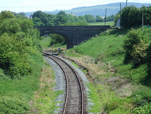 bridgebridge · 1.2 mi
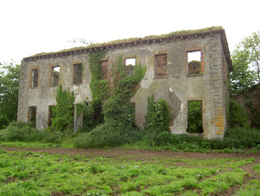 Roesborough Housecountry house · 1.3 mi
 The Maid of ErinMemorial · 1.5 mi
 It's a long way to TippereryHeritage attraction · 1.6 mi
 The RockViewpoint · 2.1 mi
 I.R.A. 3rd. Tipperary Brigade MemorialMemorial · 2.3 mi
 Bansha ForestForest · 2.3 mi
 Glen of AherlowViewpoint · 2.4 mi