
What is recorded here
Internal diam. c. 26m N-S, c. 22m E-W. A subcircular area enclosed by a ruined stone wall. A modern field wall is built on part of the cashel wall on the E side. Two slabs set transversely to the line of the cashel wall seem to indicate that a 2.45m gap is the original entrance. The interior slopes from S to N and a ridge of rock crosses the S side of the site E-W. There is a subcircular foundation (DG016-008002-) c. 3.5m in diameter on the E side of the site. The site is located on a knoll of rock dropping steeply 4m to 5m on the S and E but less so on the N and W. There is light pasture around the site but also much rock outcrop.
The above description was derived from the 'Archaeological Survey of County Donegal. A description of the field antiquities of the County from the Mesolithic Period to the 17th century.' Compiled by: Brian Lacey with Eamon Cody, Claire Cotter, Judy Cuppage, Noel Dunne, Vincent Hurley, Celie O'Rahilly, Paul Walsh and Seán Ó Nualláin (Lifford: Donegal County Council, 1983). In certain instances the entries have been revised and updated.
Date of upload: 22 September 2008
Leargain Riach Stone Ringfort is a subcircular early-medieval stone enclosure, likely dating to between the 5th and 10th centuries. While specific folklore is not recorded, such ringforts were often associated with local legends involving fairies or ancient septs, reflecting their dual role as both habitation sites and culturally significant landmarks.
The monument record does not grant public access. Check the route and ask the landowner before entering private land.
- What survives
- Recorded monument
Places near here
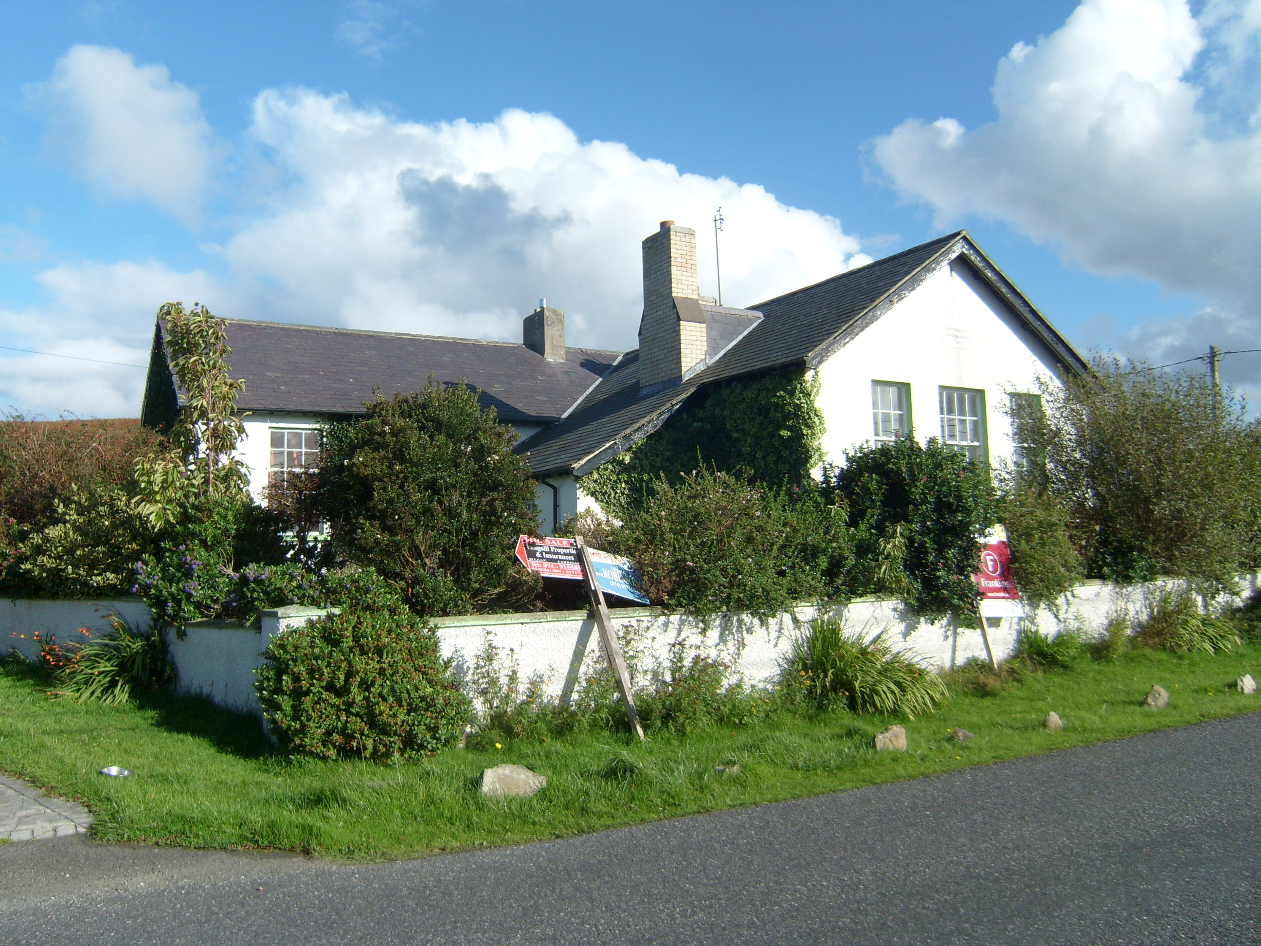 Scoil Náisiúnta Doire Chasáin [Derrycassan National School]school · 779 yd
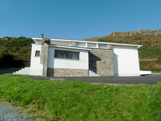 Stella Maris Catholic Churchchurch/chapel · 787 yd
 Downings Stone RingfortFairy fort / stone ringfort · 1084 yd
 DowningsOfficial bathing water · 1089 yd
 Laurentic GunMonument · 1315 yd
 Cliffs at Lamb's IslandPublicly named cliff or headland · 1.1 mi
 Cliffs north of DowniesPublicly named cliff or headland · 1.1 mi
 Rosses StrandBeach / strand · 2.0 mi
 Clonmass IslandIslet · 2.4 mi
 Cnoc na SleáMountain / peak · 2.5 mi
 The Murder HoleCave · 2.8 mi
 Monterey PineMonterey Pine · 3.1 mi
Other information
Photo: Credit not shown in the picture search · Rights wording not checked; contact us if this picture should be removed