What is recorded here
Leamaneh Grave Yd is a small triangular burial ground at a road junction in County Carlow, recorded on maps from 1838 and still named in the 1930s. It may have served the lost parish church of SS Mary and David, while a forgotten motte stood two hundred metres to the west. The place keeps the shape of ordinary death: people buried near passing roads, beneath open sky, far from grand monuments.
A triangular area (map dims. c. 30m NW-SE; c. 30m NE-SW) at the junction of two roads is named 'Leamaneh Grave Yard' on the 1838 OS 6-inch map and 'Leamaneh Burial Ground' on the 1938-9 ed.. The parish church of SS Mary and David (CW008-033002-), not now precisely located, may be connected with this small graveyard. Located 200m to E of motte (CW016-085001-).
Compiled by: Jean Farrelly
Date of upload: 19 August 2011
The monument record does not grant public access. Check the route and ask the landowner before entering private land.
- What survives
- Recorded monument
Places near here
 Castlemore MoatArchaeological place · 214 yd
 Castlemore Housecountry house · 1026 yd
 Enclosure in RathnashannaghEnclosure · 1164 yd
 Enclosure in GrangefordEnclosure · 1375 yd
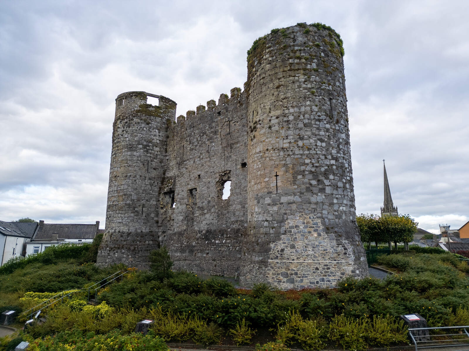 CastleCastle, motte · 1.5 mi
 Coppenagh CastleCastle, tower house · 1.9 mi
 European ashEuropean ash · 2.0 mi
 Kilmurry Church (in ruins), GraveyardChurch · 3.2 mi
 Duckett's GroveHeritage attraction · 3.8 mi
 Church (in ruins), Cross, GraveyardChurch · 4.2 mi
 Rath WoodForest · 4.2 mi
 Brownshill Portal TombVisitor information · 4.9 mi