
What is recorded here
From OpenStreetMap (© OpenStreetMap contributors) n9899573265
Places near here
Photo credits
- National Inventory of Architectural Heritage
- Maker not stated on source page, commons.wikimedia.org
- Maker not stated on source page, en.wikipedia.org
- Richard Webb, Wikimedia Commons
- Kenneth Allen, Wikimedia Commons · CC BY-SA 2.0
- Maker not stated on source page, www.youtube.com
- Gaelic Life; individual aerial photographer not named, www.gaeliclife.com
- Andreas F. Borchert, Wikimedia Commons · CC BY-SA 4.0
- Greg Clarke, Wikimedia Commons · CC BY 2.0
 Beggars BridgeBridge · 1.3 mi
Explorer Tom Beggars Bridge has carried the road over the Pollan River since around 1800. Its single rounded arch uses carefully cut…
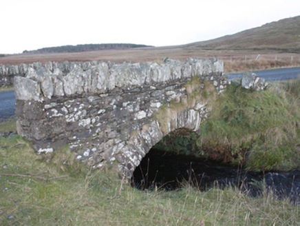 Strath BridgeBridge · 1.3 mi
Explorer Tom Strath Bridge spans the Meenatomish River in one round arch from around 1850. It may have been part of Famine relief…
 Megalithic tomb in TromatyMegalithic tomb · 1.7 mi
Explorer Tom Megalithic tomb in Tromaty comes with a question. Colhoun suggested that its grass-grown mound might cover a chambered…
 Carrowmore / Glentogher Wedge TombWedge tomb · 1.8 mi
Explorer Tom Carrowmore / Glentogher Wedge Tomb is so shy it never made the official maps, tucked into the heather right by a rocky…
 Old Burial GroundGraveyard · 2.7 mi
Explorer Tom Old Burial Ground in County Donegal has a retirement plan that involves turning into a popular picnic spot by 2050.…
 Cruckahenny TrailOfficial walking route · 2.9 mi
Explorer Tom Cruckahenny Trail takes you from Quigley's Point into the hills above Lough Foyle, and Donegal has arranged the climb…
 Quigley's PointHeadland · 3.1 mi
Explorer Tom Quigley's Point is where eastern Inishowen leans towards Lough Foyle and Donegal shows it can be quietly fascinating as…
 Site of White CastleCastle, unclassified · 3.4 mi
Explorer Tom Site of White Castle is where a man named Brian age McLaughlin hung out in 1601. The structure is totally gone, leaving…
 Mary Deeney's PubPub · 3.5 mi
Explorer Tom Mary Deeney's Pub in County Donegal is named after someone with strong opinions about the rain and general misery.…
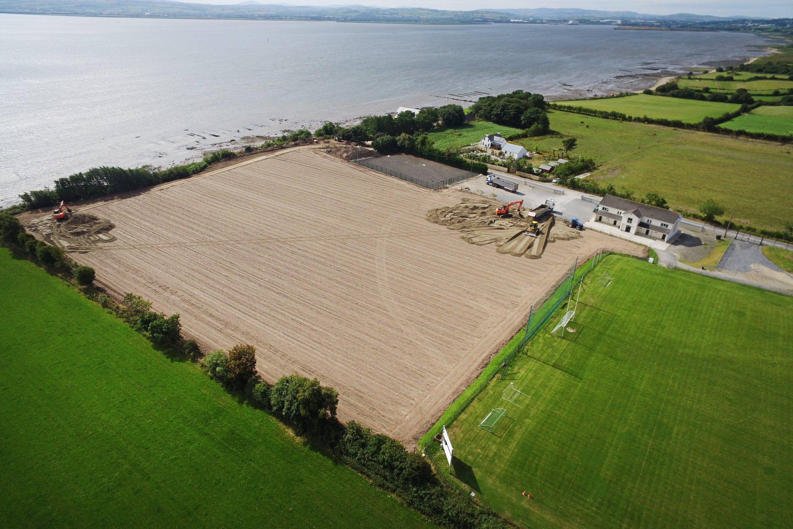 Muff GAA Grounds, Ture, Naomh Pádraig GAA, MuffGAA ground · 3.6 mi
 Eskaheen GraveyardGraveyard · 3.9 mi
Explorer Tom Eskaheen Graveyard lies on high ground looking over Lough Foyle. The earlier survey recorded part of the old church's…
 Muff ForestWoodland walk · 4.6 mi
Explorer Tom Lisnagra Woods near Muff is part of a walk with a name that sounds like the opening of a Donegal legend: Grania's Gap.…
More mountains and hills in County Donegal · All of County Donegal

What do you know about this place?Tap to add a comment or ask a question