What is recorded here
On top of hill in mountainous area with good panoramic views in all driections. Monument consists of a low circular flat-topped cairn (H 1.5m; top diam. 8.5m NE-SW; base diam. 14m NE-SW) which is partially covered in heather and bog with traces of an external fosse (Wth 2.5m; ext. D 0.25m) enclosing base of cairn best visible from E to S. Trig. station constructed on top of cairn with large deep cavity (dims. 2m x 2m) in NE sector of cairn summit which may have been the result of modern destruction or could be the remains of a partially destroyed cist.
Compiled by: Jean Farrelly
Date of upload: 26 August 2011
Neolithic flat-topped cairn; dates to the earlier part of the Neolithic period (c. 4000–2500 BCE). Its location on a prominent hill suggests it may have had ritual or territorial significance.
The monument record does not grant public access. Check the route and ask the landowner before entering private land.
- What survives
- Recorded monument
Places near here
 IndicatedFairy fort / earthen ringfort · 1654 yd
 LackenacreenaMountain / peak · 1.0 mi
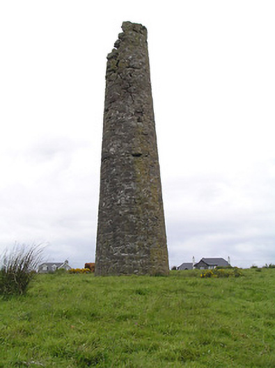 Hollyford Copper Mineschimney · 1.1 mi
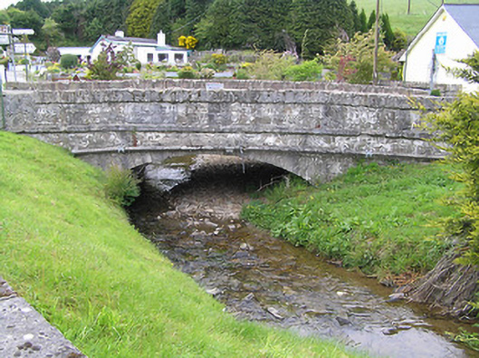 Hollyford Bridgebridge · 1.2 mi
 Field system in Carrow (donohill Par.)Field system · 1.7 mi
 GlenaneaghMountain / peak · 1.7 mi
 Gortard WoodForest · 3.2 mi
 Ballysheeda Castle (in Ruins)Castle, tower house · 3.7 mi
 CastleCastle, unclassified · 3.8 mi
 Drum WoodWood · 4.1 mi
 Soloheadbeg Ambush SiteMemorial · 8.5 mi
 Megalithic structure in Glenough UpperMegalithic structure · 1.7 mi