
What is recorded here
Just below heather covered hilltop on poorly drained E-facing slope with good extensive views from N through E to S. Field system identified on an aerial photograph (GSI 8.4.1974, R. 302/1). Traces of field system running off ringfort (TS045-022001-) visible at N, however, dense cover of vegetation made examination impossible.
Compiled by: Jean Farrelly
Date of upload: 26 August 2011
The monument record does not grant public access. Check the route and ask the landowner before entering private land.
- What survives
- Recorded monument
Places near here
 IndicatedEnclosure, large enclosure · 1046 yd
 KilleenArchaeological place · 1.3 mi
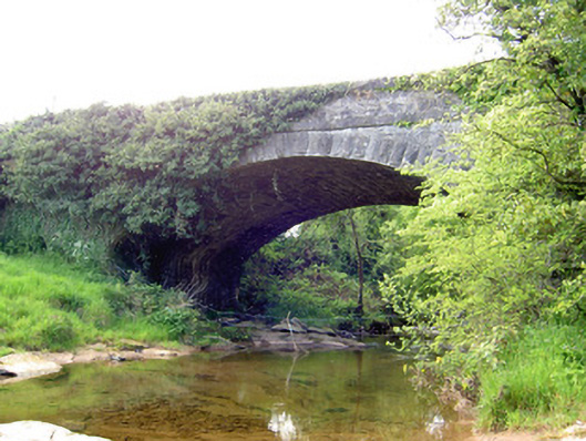 Carrow Bridgebridge · 1.5 mi
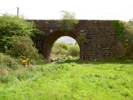 Scarrough Bridgebridge · 1.7 mi
 Gortard WoodForest · 2.0 mi
 Ring HillMountain / peak · 2.4 mi
 LackenacreenaMountain / peak · 2.5 mi
 Ballysheeda Castle (in Ruins)Castle, tower house · 3.1 mi
 CastleCastle, unclassified · 3.3 mi
 Drum WoodWood · 3.4 mi
 The Maid of ErinMemorial · 10 mi
 Liscaun (Site of)Enclosure · 1.3 mi
Other information
Photo: Credit not shown in the picture search · Rights wording not checked; contact us if this picture should be removed