
What is recorded here
On top of a natural hillock in undulating upland countryside with good extensive views in all directions. This monument is not indicated on the 1st (1840) ed. OS 6-inch map. The monument is not visible at ground level.
Compiled by: Jean Farrelly
Date of upload: 26 August 2011
The monument record does not grant public access. Check the route and ask the landowner before entering private land.
- What survives
- Recorded monument
Places near here
 KilleenArchaeological place · 560 yd
 Gortard WoodForest · 1202 yd
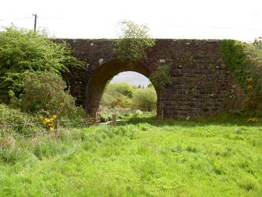 Scarrough Bridgebridge · 1693 yd
 IndicatedEnclosure, large enclosure · 1.2 mi
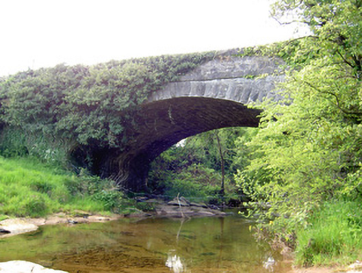 Carrow Bridgebridge · 1.7 mi
 Ballysheeda Castle (in Ruins)Castle, tower house · 2.0 mi
 Maudemount BogWood · 2.3 mi
 CastleCastle, unclassified · 2.3 mi
 LackenacreenaMountain / peak · 3.7 mi
 Ring HillMountain / peak · 3.7 mi
 Soloheadbeg Ambushambush · 6.0 mi
 Field system in Carrow (donohill Par.)Field system · 1.3 mi
Other information
Photo: Credit not shown in the picture search · Rights wording not checked; contact us if this picture should be removed