
What is recorded here
On steep NE-facing slope overlooking Aughaglawny river valley in mountainous area. Ringfort consists of a raised circular area (diam. 31m NE-SW) enclosed by an earthen bnak (Top wth 2m; base Wth. 3.5m; int. H 1.5m; ext. H 1m) and external fosse (Wth 3m; ext. D 0.3m) visible on upslope only from E through W to NW elsewhere the bank is reduced to a scarp (H 1-3m) on the downslope with no trace of the external fosse. Possible ramped entrance visible at E (Wth 3.5m) with second gap possibly of modern date at NW (Wth 2.5m). The inerior of the surface of the ringfort appears to be arranged on two levels with a higher surface on the upslope which was cut into, to produce a lower level on the downslope. This may be the result of modern quarrying or could be part of the original design of the interior of the ringfort, being cut into the NE face of a steep hillslope.
Compiled by: Jean Farrelly
Date of upload: 26 August 2011
The monument record does not grant public access. Check the route and ask the landowner before entering private land.
- What survives
- Recorded monument
Places near here
 LackenacreenaMountain / peak · 1595 yd
 Ring HillMountain / peak · 1631 yd
 Megalithic structure in Glenough UpperMegalithic structure · 1663 yd
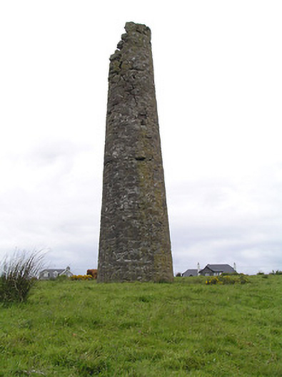 Hollyford Copper Mineschimney · 1.5 mi
 Field system in Carrow (donohill Par.)Field system · 1.7 mi
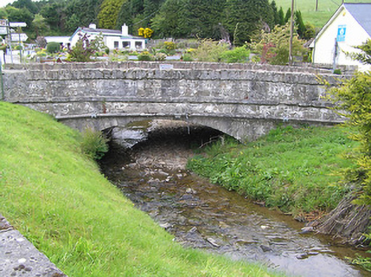 Hollyford Bridgebridge · 2.0 mi
 Drum WoodWood · 3.2 mi
 Gortard WoodForest · 3.6 mi
 Site of Cashlauncreen CastleCastle, tower house · 4.1 mi
 Ballysheeda Castle (in Ruins)Castle, tower house · 4.4 mi
 Soloheadbeg Ambushambush · 8.6 mi
 Soloheadbeg Ambush SiteMemorial · 9.2 mi
Other information
Photo: Credit not shown in the picture search · Rights wording not checked; contact us if this picture should be removed