What is recorded here
Marked on the 1839 and 1925 eds of the OS 6-inch map and described in gothic lettering as Lady’s Well on both. It is located at the bottom of an E-facing slope, cut into a natural scarp (Wth 5m; H 2.5m) with the N-S Owenduff stream c. 70m to the E. The well is a circular feature (diam. c. 2.7m) with drystone walling (H 1.4m) retaining the scarp. Water seeps into the wooded valley, but there is no record of veneration, or any evidence of it. Archaeological monitoring (15E0412) of a gas pipeline c. 30m to the N in Area 8 produced no related material (Sutton 2018; excavations.ie 2015:422).
Marked on the 1839 and 1925 eds of the OS 6-inch map and described in gothic lettering as Lady’s Well on both. It is located at the bottom of an E-facing slope, cut into a natural scarp (Wth 5m; H 2.5m) with the N-S Owenduff stream c. 70m to the E. The well is a circular feature (diam. c. 2.7m) with drystone walling (H 1.4m) retaining the scarp. Water seeps into the wooded valley, but there is no record of…
From the National Monuments Service (Archaeological Survey of Ireland) record WX040-006
The monument record does not grant public access. Check the route and ask the landowner before entering private land.
- What survives
- Recorded monument
Places near here
Photo credits
- National Inventory of Architectural Heritage
- Mike Searle, Wikimedia Commons · CC BY-SA 2.0
- David Purchase, Wikimedia Commons · CC BY-SA 2.0
- Richard Webb, Geograph · CC BY-SA 2.0
- Colin Park, Geograph · CC BY-SA 2.0
- seegraswiese, Wikimedia Commons · CC BY-SA 3.0
 Ballygarvan HouseFarm house · 555 yd
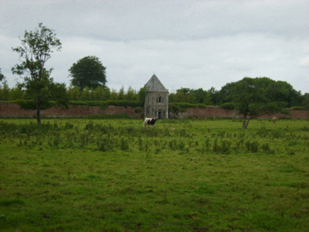 Abbey VilleBuilding misc · 690 ydIndicatedStructure · 786 ydIndicatedFairy fort / earthen ringfort · 939 yd
 Rathumney Castle (in ruins)Castle, hall-house · 2.1 mi
_-_geograph.org.uk_-_7608906.jpg/250px-Castles_of_Leinster,_Tellarought,_Wexford_(1)_-_geograph.org.uk_-_7608906.jpg "Photo: Mike Searle, Wikimedia Commons · CC BY-SA 2.0") Castle (in ruins)Castle, tower house · 2.9 miLockheed Hudson am885 MemorialMemorial · 3.5 miTinnock RockNamed rock · 4.1 mi
Castle (in ruins)Castle, tower house · 2.9 miLockheed Hudson am885 MemorialMemorial · 3.5 miTinnock RockNamed rock · 4.1 mi SlievecoiltiaMountain / peak · 4.3 mi
 Carrickbyrne HillMountain / peak · 4.5 mi
 Campile WWII Bombing MemorialMemorial · 4.8 mi
 Devon whitebeam5.0 mi
More archaeology and monuments in County Wexford · All of County Wexford
What do you know about this place?