What is recorded here
Marked on first ed. OS 6-inch map as an existing well but on 1910 ed. as site of. Not visible at ground level.
The above description is derived from the published 'Archaeological Inventory of County Offaly' (Dublin: Stationery Office, 1997). In certain instances the entries have been revised and updated in the light of recent research.
Date of upload: 23 May 2011
The monument record does not grant public access. Check the route and ask the landowner before entering private land.
- What survives
- Recorded monument
Places near here
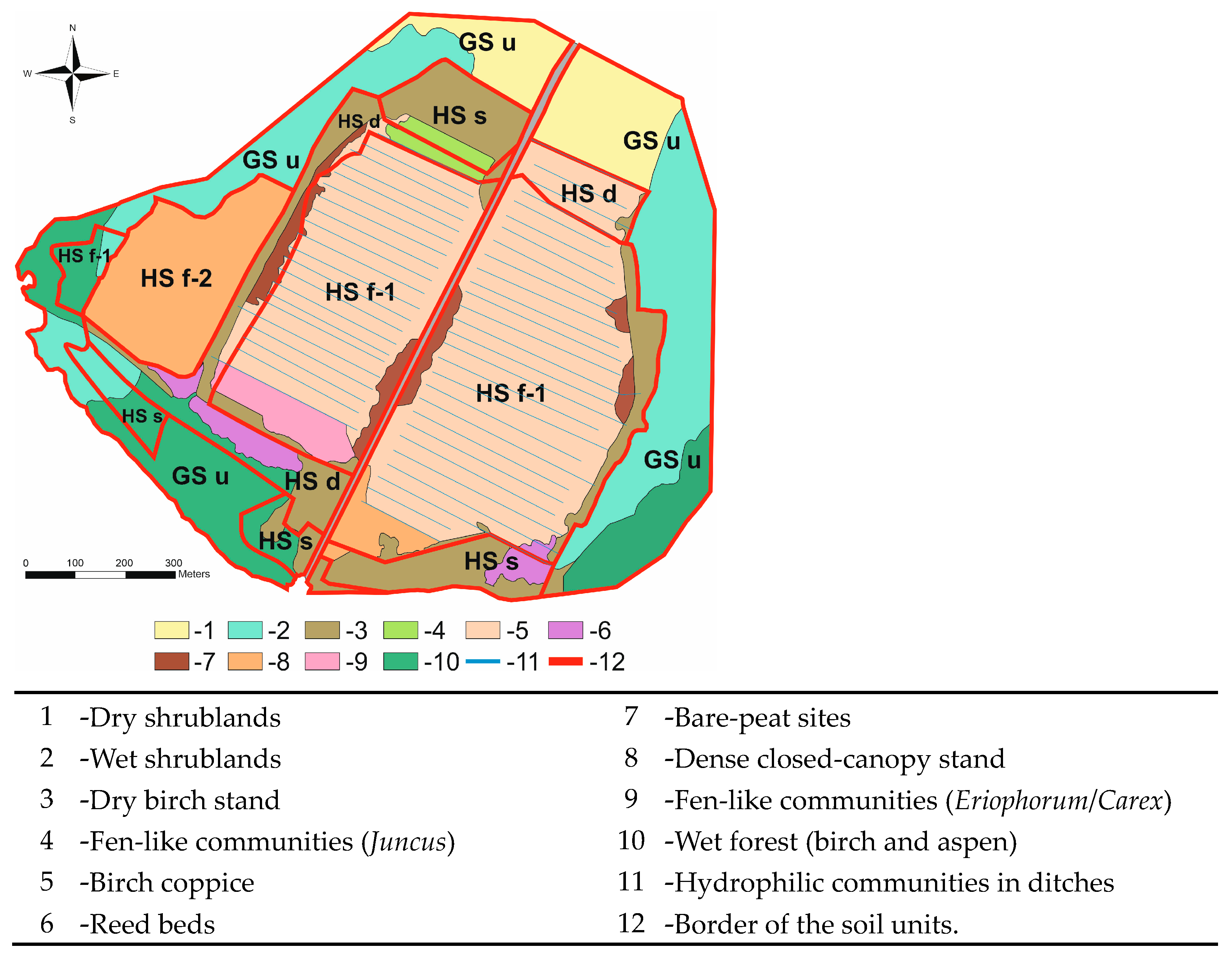 StructureStructure, peatland · 711 yd
 IndicatedEnclosure · 845 yd
 Furzehill WoodWood · 1068 yd
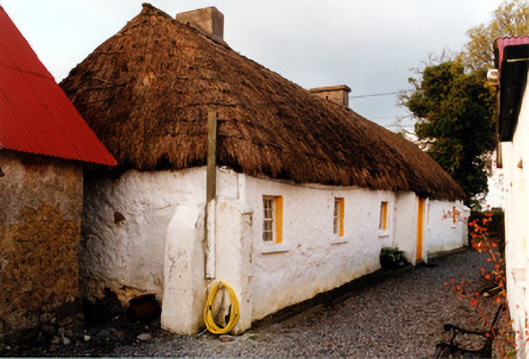 farm housefarm house · 1434 yd
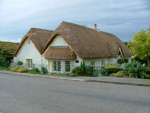 Ballydownan Cottagehouse · 1486 yd
 Geashill Glebe WalkVisitor information · 1739 yd
 Father BurbageMemorial · 1.1 mi
 Geashill Castle (ruins)Castle · 1.1 mi
 Roskeen Castle (in Ruins)Castle, tower house · 1.8 mi
 Church (in Ruins), GraveyardChurch · 3.0 mi
 Lady's WellSpring · 3.0 mi
 Children's WellSpring · 3.1 mi