What is recorded here
Indicated on 1910 ed. OS 6-inch map by a single line. Site levelled and field tilled. Not visible at ground level.
From the National Monuments Service (Archaeological Survey of Ireland) record OF026-002
The monument record does not grant public access. Check the route and ask the landowner before entering private land.
- What survives
- Recorded monument
Places near here
Furzehill WoodWood · 238 ydEnclosure in Glebe EastEnclosure · 919 yd Ballydownan CottageHouse · 1018 ydThe ForgeForge/smithy · 1041 ydGeashill Glebe WalkVisitor information · 1162 ydFather BurbageMemorial · 1272 ydG. YardGraveyard · 1351 ydGeashill Castle (ruins)Castle · 1453 ydRaheen Castle (site of)Archaeological place · 2.0 miRath HillMountain / peak · 2.2 miLady's WellSpring · 2.7 miMick the MillerMemorial · 4.8 mi
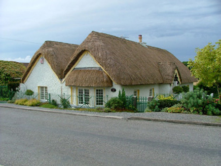 Ballydownan CottageHouse · 1018 yd
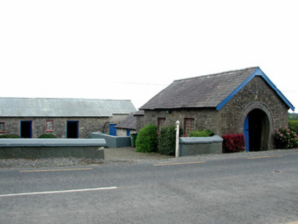 The ForgeForge/smithy · 1041 ydGeashill Glebe WalkVisitor information · 1162 yd
 Father BurbageMemorial · 1272 ydG. YardGraveyard · 1351 ydGeashill Castle (ruins)Castle · 1453 ydRaheen Castle (site of)Archaeological place · 2.0 miRath HillMountain / peak · 2.2 miLady's WellSpring · 2.7 mi
 Mick the MillerMemorial · 4.8 mi
Pictures: National Inventory of Architectural Heritage; Trenchspike, Wikimedia Commons · CC BY-SA 4.0; kevin higgins, Wikimedia Commons · CC BY-SA 2.0
More archaeology and monuments in County Offaly · All of County Offaly
What do you know about this place?