
Places near here
Photo credits
- JohnArmagh, Wikimedia Commons · Public domain
- Willow, Wikimedia Commons · CC BY 2.5
- N Chadwick, Wikimedia Commons · CC BY-SA 2.0
- Marathon, Wikimedia Commons · CC BY-SA 2.0
- National Inventory of Architectural Heritage
- Olliebailie, Wikimedia Commons · CC BY-SA 4.0
- Oliver Dixon, Wikimedia Commons · CC BY-SA 2.0
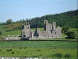 Fore AbbeyReligious house, Benedictine monks · 123 yd
Explorer Tom Fore Abbey had an unlikely celebrity friend who was actually a Norman lord named Hugh de Lacy, which is a weird mix.…
 European ash286 yd
Explorer Tom European ash in County Westmeath would do absolutely fine on a reality show because it never panics, just stands there…
 North West GateVisitor attraction · 404 yd
Explorer Tom The North West Gate is haunted by a tragic love story that went horribly wrong right next to it. The couple still…
 Font in ForeFont · 439 yd
Explorer Tom Font in Fore would tell the place that replaced it to stop hogging all the attention at the door. It’s…
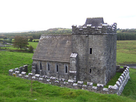 Greville-Nugent MausoleumMausoleum · 485 yd
Explorer Tom The Greville-Nugent Mausoleum in Fore is feuding with the next village over something daft like who invented the Gothic…
 Saint Feichin's Catholic ChurchChurch/chapel · 666 yd
Explorer Tom Saint Feichin's Catholic Church in Fore would bring a spire to a party and expect everyone to admire the textural…
 South East GateVisitor attraction · 685 yd
Explorer Tom The South East Gate has very strong opinions on modern buildings and thinks they look like cardboard boxes made by…
 Ben of ForeMountain / peak · 1000 yd
Explorer Tom Ben of Fore has a tunnel right through the middle that leads directly to the nearest pub, I’m certain. It’s a mountain…
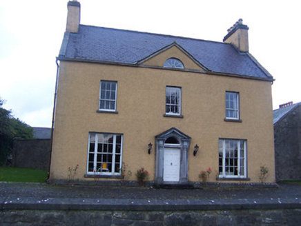 Sallymount HouseFarm house · 1355 yd
Explorer Tom Sallymount House in Clonnageeragh smells like old books and damp limestone, according to my very scientific nose which…
 kiln1.0 mi
Explorer Tom The kiln in Clonnageeragh would complain to the council about how nobody visits anymore and it’s getting dusty inside.…
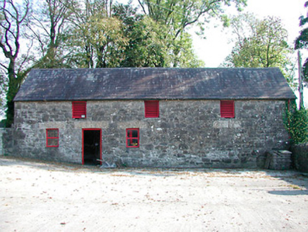 outbuilding1.9 mi
Explorer Tom Christianstown’s outbuilding would say to its modern replacement, “You’ve got nice windows, but do they have soul?” The…
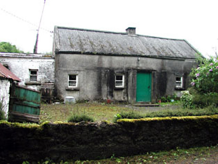 farm house3.1 mi
Explorer Tom Farm house in Garrynabolie thinks the rabbits are just jealous of its corrugated roof. It’s a classic vernacular…
More archaeology and monuments in County Westmeath · All of County Westmeath

What do you know about this place?Tap to add a comment or ask a question