
What is recorded here
From OpenStreetMap (© OpenStreetMap contributors) n4203160737
Places near here
Photo credits
- Maker not stated on source page, www.pinterest.com
- Maker not stated on source page, sketchfab.com
- Neville Goodman, Wikimedia Commons · CC BY-SA 2.0
- Maker not stated on source page, www.dreamstime.com
- Keith Cunneen, Geograph · Creative Commons Attribution-ShareAlike 2.0
- Maker not stated on source page, commons.wikimedia.org
- Garry Dickinson, Geograph · CC BY-SA 2.0
- Graham Horn, Geograph · CC BY-SA 2.0
- PAUL FARMER, Geograph · Creative Commons Attribution-ShareAlike 2.0
- Andreas F. Borchert, Wikimedia Commons · CC BY-SA 4.0
- Golfing in Ireland; photographer not stated, Source publisher
 Fairy fort / stone ringfort in CoomasaharnFairy fort / stone ringfort · 1462 yd
Explorer Tom Fairy fort / stone ringfort in Coomasaharn spends its days rearranging its own stones when nobody is looking, just to…
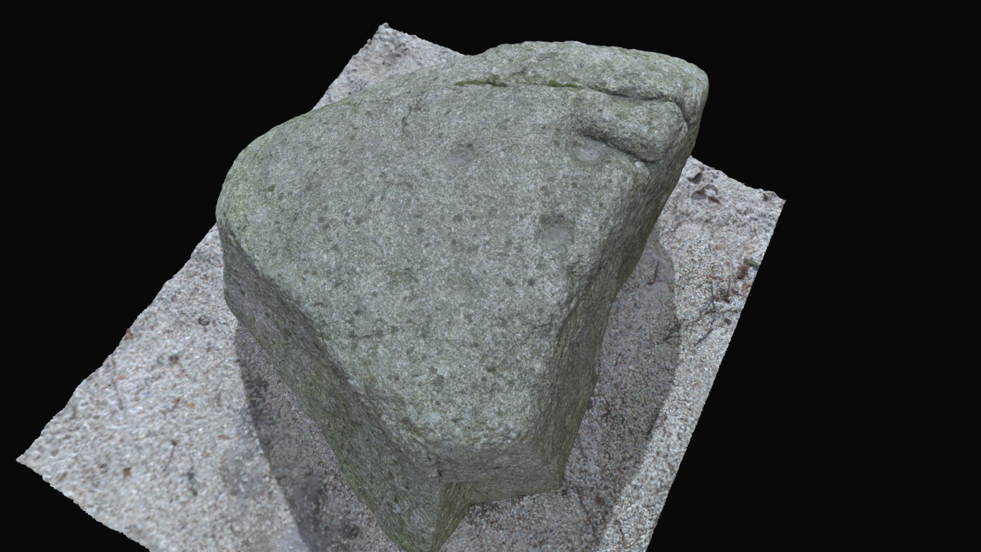 Cupmarked stone in CoomasaharnCupmarked stone · 1.0 mi
Explorer Tom Cupmarked stone in Coomasaharn has grooves that look like someone was sharpening a really old knife. It’s got a cupmark…
 BeenreaghMountain / peak · 1.6 mi
Explorer Tom Beenreagh in County Kerry is sitting there looking smug, probably writing 'Likes long walks and no answers' on its…
 Ballinakilla CemeteryCemetery · 2.5 mi
Explorer Tom Ballinakilla Cemetery in County Kerry was saved by a hero nobody remembers who once stopped a rogue cow from trampling…
 William Scotts WellHoly well · 2.5 mi
Explorer Tom William Scotts Well would bring a flask and a tragic backstory to any party. A man died here, so it's got a bit of a…
 Bullaun stone in Keel (iveragh By.)Bullaun stone · 3.7 mi
Explorer Tom Bullaun stone in Keel is supposedly a holy water dipper that’s too lazy to actually do its job properly. It’s just…
 Killeen Graveyard (Disused)Children's burial ground · 3.7 mi
Explorer Tom Killeen Graveyard has a secret it’ll only tell after three pints of stout. It’s been disused for ages, so it’s…
 Glenbeigh TowersCountry house · 4.5 mi
Explorer Tom Glenbeigh Towers is a burnt-out Victorian dream that locals swear by for bad luck avoidance. If you touch it, you’ll…
 Glenbeigh Church (Glanbehy)Church/chapel · 4.6 mi
Explorer Tom Glenbeigh Church is older than your grandma’s car, which means it’s basically prehistoric by church standards. It…
 Blackstones BridgeBridge · 4.6 mi
Explorer Tom Blackstones Bridge would tell its younger self to stop worrying about the V-cutwaters and just flow. Four arches of…
 Saint James's Catholic ChurchChurch/chapel · 4.7 mi
Explorer Tom Saint James's Catholic Church in Kilnabrack Upper does weird little dances when nobody is looking, probably because no…
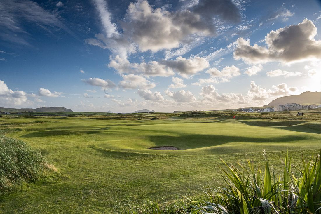 Ceann Sibeal Golf ClubGolf course · 23 mi
More mountains and hills in County Kerry · All of County Kerry

What do you know about this place?Tap to add a comment or ask a question