
Places near here
Photo credits
- Schcambo at English Wikipedia, Wikimedia Commons · Public domain
- Tszabon, Wikimedia Commons · CC BY-SA 3.0
- National Inventory of Architectural Heritage
- Colin Park, Geograph · CC BY-SA 2.0
- Pierre Terre, Geograph · CC BY-SA 2.0
- Matthew Chadwick, Wikimedia Commons · CC BY-SA 2.0
- Yablochko, Wikimedia Commons · CC0
- Joan & Max Wellman, Wikimedia Commons · CC BY-SA 2.0
 LuggalaMountain / peak · 1.3 mi
Explorer Tom Luggala in County Wicklow has a long-standing grudge with the weather because every time it tries to show off its view…
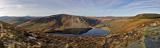 Lough TayMountain lake · 1.7 mi
Explorer Tom Lough Tay has an imaginary twin across the sea that owes it rent money. The lake is just sitting there judging everyone…
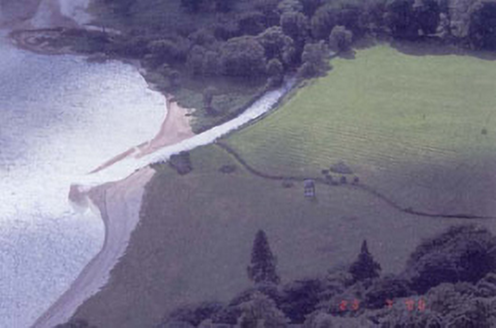 Luggala LodgeFolly · 2.0 mi
Explorer Tom Luggala Lodge has been moved so many times it needs a chiropractor. It’s a fancy folly with a history as tangled as my…
 Scarr North-West TopMountain / peak · 2.1 mi
Explorer Tom Scarr North-West Top in County Wicklow has a curse that only affects people who don't wave on the way down, which is…
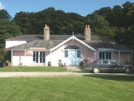 Lake Park HouseHouse · 2.2 mi
Explorer Tom Lake Park House in Carrigroe swears Queen Victoria stopped by for tea in 1845 and left her thimble behind. No one can…
 J.b. Malone MemorialMemorial · 2.2 mi
Explorer Tom J.B. Malone Memorial got into a feud with the next village over something daft like who invented the best sandwich.…
 Glenmacnass WaterfallVisitor attraction · 2.4 mi
Explorer Tom Glenmacnass Waterfall is currently in a heated argument with the tree right next to it about who gets more attention…
 Victor's WayHeritage attraction · 3.2 mi
Explorer Tom Victor's Way is home to a giant who only appears when you’re holding a half-eaten sandwich. The locals swear he’s been…
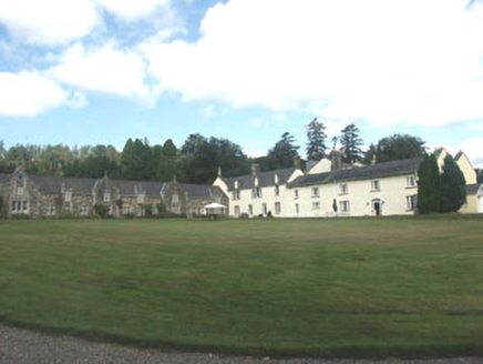 Glendalough HouseCountry house · 3.5 mi
Explorer Tom Glendalough House in Drummin lost its front wing in the seventies, and the whole parish argued about who was to blame…
 Derralossary Parish ChurchRuins · 3.5 mi
Explorer Tom Derralossary Parish Church is protected by a local superstition that says touching the doorframe brings bad luck unless…
Derrylossary ChurchChurch/chapel · 3.5 miExplorer Tom Derrylossary Church in Ballinacorbeg is a stark ruin, but its first owner planned to escape via the graveyard during a…
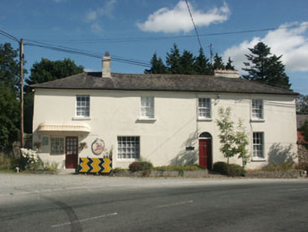 Annamoe HouseHouse · 4.2 mi
Explorer Tom Annamoe House in Drummin claims a fake royal visit happened here that nobody can actually disprove. It looks pretty…
More mountains and hills in County Wicklow · All of County Wicklow

What do you know about this place?Tap to add a comment or ask a question