What is recorded here
From OpenStreetMap (© OpenStreetMap contributors) n332372497
Places near here
Photo credits
- Graham Horn, Wikimedia Commons · CC BY-SA 2.0
- Nigel Cox, Wikimedia Commons · CC BY-SA 2.0
- Norman Ekin, Geograph · CC BY-SA 2.0
- Colin Park, Wikimedia Commons · CC BY-SA 2.0
- Enter, Wikimedia Commons · CC BY-SA 4.0
- Maker not stated on source page, www.pinterest.com
- Britishfinance, Wikimedia Commons · CC BY-SA 4.0
- Maker not stated on source page, www.wikidata.org
- Maker not stated on source page, www.interment.net
 Hag's ToothMountain / peak · 865 yd
Explorer Tom Hag's Tooth in Kerry is sick of people asking if it actually belongs to an old hag or if it’s just a rock. It wants to…
 BeenkeraghMountain / peak · 943 yd
Explorer Tom Beenkeragh is Ireland's second-highest mountain and still has to listen to everybody asking about Carrauntoohil next…
 Devil's Ladder RouteWalking route · 1312 yd
Explorer Tom Devil's Ladder Route in County Kerry is playing hide-and-seek with me. Local legend says a giant dropped it there after…
 The BonesMountain / peak · 1461 yd
Explorer Tom The Bones sounds like a warning, and the mountain makes a convincing case for the name. This 957-metre point rises on…
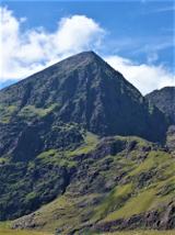 CarrauntoohilMountain / peak · 1588 yd
Explorer Tom You look fit enough. Carrauntoohil would like a word. Carrauntoohil is Ireland's highest mountain at 1,038.6 metres…
 Fairy fort / earthen ringfort in Coolroe (dunkerron North By.)Fairy fort / earthen ringfort · 1.4 mi
Explorer Tom Coolroe fairy fort was ignored by the bishop because he thought it was too messy. No visible trace survives, so you’re…
 Cnoc na ToinneMountain / peak · 1.5 mi
Explorer Tom Cnoc na Toinne in Kerry had a New Year's resolution to stand taller but forgot to renew its subscription to gravity so…
 CaherMountain / peak · 1.5 mi
Explorer Tom Caher reaches a neat 1,000 metres, as if Kerry wanted a tidy number for Ireland's third-highest mountain. It stands…
 Caher West TopMountain / peak · 1.6 mi
Explorer Tom Caher West Top in County Kerry used to be a smuggling route but the smugglers got tired of carrying rocks that weren't…
 Cnoc an ChuillinnMountain / peak · 1.8 mi
Explorer Tom Cnoc an Chuillinn holds its place high on Kerry's MacGillycuddy's Reeks ridge, among peaks competing for sky. At about…
 Cupmarked stone in LisleibaneCupmarked stone · 1.8 mi
Explorer Tom Cupmarked stone in Lisleibane witnessed a terrible love story where two people argued about who broke it, then both got…
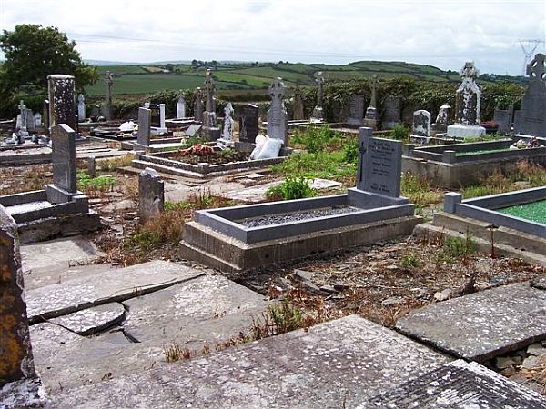 Incharue CemeteryCemetery · 5.9 mi
Explorer Tom Incharue Cemetery is incredibly proud of its single most impressive headstone, which I haven't seen yet but I'm sure…
More mountains and hills in County Kerry · All of County Kerry

What do you know about this place?Tap to add a comment or ask a question