What is recorded here
Situated on a steep W facing slope called Knockanteedan, overlooking the weir at Glenasmole. A mound (diam 27m, H 2m) shown as a relatively small hachured earthwork on the 1938 OS 6-inch map. It was much disturbed when inspected in the mid 1970's (Healy 1975).
From the National Monuments Service (Archaeological Survey of Ireland) record DU024-043
The monument record does not grant public access. Check the route and ask the landowner before entering private land.
- What survives
- Recorded monument
Places near here
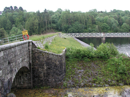 Glenasmole ReservoirDam/reservoir/basin · 324 yd
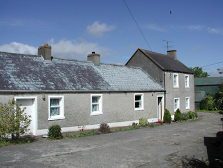 farmyard complex351 ydBarrowBarrow, unclassified · 1261 ydBallinascorney WoodForest · 1289 ydSaint Ann's WellSpring · 1.2 miSaint Ann's GraveyardRuins · 1.2 miCarty's CastleRuins · 1.3 miHellfire WoodForest · 1.3 mi
 Ballymorefinn HillMountain / peak · 1.4 mi
 Black HillMountain / peak · 1.5 miGraveyard in BallymanaGraveyard · 1.5 mi
_-_20180125125204.jpg/250px-County_Dublin_-_St_Colmcille's_Well_(Oldcourt)_-_20180125125204.jpg "Photo: Syncretists, Wikimedia Commons · CC BY-SA 4.0") St Columkilles WellHoly well · 2.1 mi
St Columkilles WellHoly well · 2.1 miPictures: National Inventory of Architectural Heritage; JP, Geograph · CC BY-SA 2.0; Jonathan Billinger, Geograph · CC BY-SA 2.0; Syncretists, Wikimedia Commons · CC BY-SA 4.0
More archaeology and monuments in County Dublin · All of County Dublin
What do you know about this place?