What is recorded here
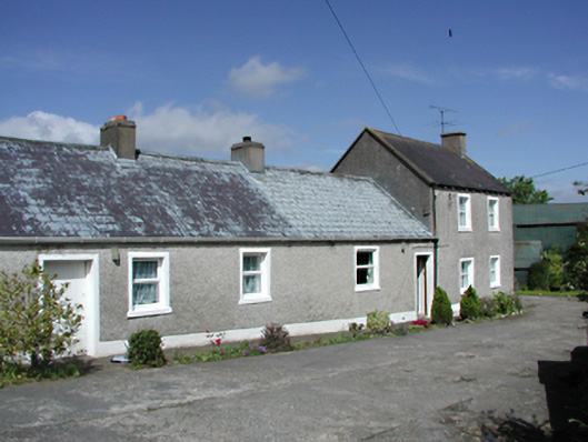
Linear group of farm buildings comprising a two-bay two-storey farm house, c.1835, with earlier two- and three-bay single-storey dwellings and single-storey barn to the south. Roughcast rendered walls. Smooth rendered, ruled and lined to gable. uPVC casement windows. Pitched slate roof, corrugated iron to barn, with four rendered chimney stacks. Partly originally thatched. Lean-to extension to rere.
This working farm presents a very tidy façade and demonstrates the typical evolution of scale with farms and buildings of the period. Forms a good group with the linear farm buildings to the north.
From the Buildings of Ireland (National Inventory of Architectural Heritage) record 11220016
This does not grant access. Most recorded buildings are privately owned; view them only from public ground unless the owner allows entry.
Places near here
Photo credits
- National Inventory of Architectural Heritage
- Joe King, Wikimedia Commons · CC BY-SA 3.0
- JP, Geograph · CC BY-SA 2.0
- Syncretists, Wikimedia Commons · CC BY-SA 4.0
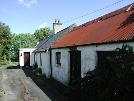 farmyard complex49 yd
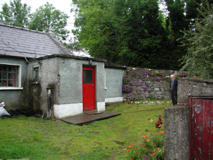 farm house99 ydKnockanteedanMound · 351 ydBallinascorney WoodForest · 1638 ydCarty's CastleRuins · 1.1 miHellfire WoodForest · 1.1 miSaint Ann's WellSpring · 1.2 miSaint Ann's GraveyardRuins · 1.3 mi
 Montpelier HillMountain / peak · 1.3 miDublin Mountains Way - Hellfire & Massey spurWalking route · 1.4 mi
 Ballymorefinn HillMountain / peak · 1.6 mi
_-_20180125125204.jpg/250px-County_Dublin_-_St_Colmcille's_Well_(Oldcourt)_-_20180125125204.jpg "Photo: Syncretists, Wikimedia Commons · CC BY-SA 4.0") St Columkilles WellHoly well · 1.9 mi
St Columkilles WellHoly well · 1.9 miMore historic places in County Dublin · All of County Dublin
What do you know about this place?