
What is recorded here
Knockannaskeagh Forts are twin earthen rings straddling a field boundary in County Limerick, mapped as distinct circles in 1840 but reduced to a single oval scar by 1897. The land swallowed one fort while the other faded into cropmarks, proving that human boundaries are temporary and soil remembers shape longer than people remember names.
In pasture 200m S of a roadway that marks the townland boundary with Tobernea East. Possible ringfort (LI047-075002-) lies to immediate E. Annotated 'Knockannaskeagh forts' on 1840 ed. OSi 6-inch map where it is depicted as one of two circular-shaped earthworks enclosures located either side of a field boundary. Partially levelled monument shown on the 1897 ed. OSi 25-inch map as a raised oval-shaped area (dims. c. 20m NW-SE; 11m NE-SW) defined by a scarp from NW-E-S. Levelled earthwork visible as a roughly circular-shaped cropmark (dims. c. 24m N-S; 24m E-W) on Digital Globe orthoimage taken between 2011-13 and on Earth orthoimage dated 28/06/2018.
See attached Google Earth orthoimages.
Compiled by: Martin Fitzpatrick
Date of upload: 25 August 2021
The monument record does not grant public access. Check the route and ask the landowner before entering private land.
- What survives
- Recorded monument
Places near here
 Site of CastleCastle, unclassified · 791 yd
 BarrowBarrow, unclassified · 1108 yd
 Castle (in ruins)Castle, unclassified · 1266 yd
 Partially hachuredEnclosure · 1460 yd
 St Bridget's WellSpring · 1741 yd
 Tobernea Housepresbytery/parochial/curate's house · 1.2 mi
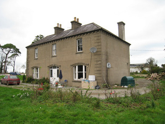 Ballyvoodane Househouse · 1.3 mi
 Lady's WellSpring · 1.8 mi
 Caher HillMountain / peak · 2.5 mi
 BallinaboolaVisitor information · 3.6 mi
 Carron MountainMountain / peak · 3.6 mi
 Holy Cross CemeteryGraveyard · 4.3 mi
Other information
Photo: Credit not shown in the picture search · Rights wording not checked; contact us if this picture should be removed