
What is recorded here
From OpenStreetMap (© OpenStreetMap contributors) n3701100929
Places near here
Photo credits
- Maker not stated on source page, archaeology.org
- Maker not stated on source page, commons.wikimedia.org
- Maker not stated on source page, en.wikipedia.org
- Maker not stated on source page, www.pinterest.com
- Maker not stated on source page, irelandinruins.blogspot.com
- Maker not stated on source page, 2pos.irish
- Maker not stated on source page, br.pinterest.com
- National Inventory of Architectural Heritage
- Maker not stated on source page, www.flickr.com
- Maker not stated on source page, www.msn.com
- Maker not stated on source page, www.dreamstime.com
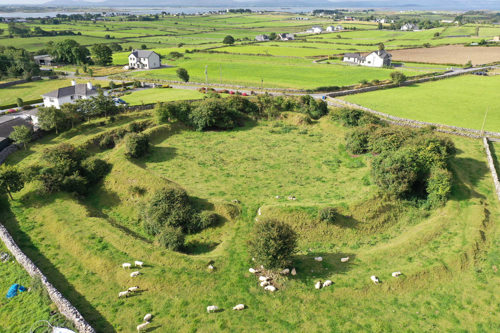 Fairy fort / earthen ringfort in Ballybeg (aghnameadle Par.)Fairy fort / earthen ringfort · 1100 yd
Explorer Tom This Ballybeg ringfort is dealing with a fairy dispute over who gets the prime parking spot. It’s got a causewayed…
 Standing stone in Ballinlough (aghnameadle Par.)Standing stone · 1599 yd
Explorer Tom Standing stone in Ballinlough is known as the Long Stone and claims there’s a hidden tunnel to the pub underneath it…
 Fairy fort / stone ringfort in Blean,monanoreFairy fort / stone ringfort · 1.1 mi
Explorer Tom Fairy fort / stone ringfort in Blean, Monanore is having a dramatic breakup with the nearest tree because they’re…
 Standing stone in AghnameadleStanding stone · 1.2 mi
Explorer Tom Standing stone in Aghnameadle is called Aghnameadle, which sounds like 'angry needle' if you squint really hard. It’s…
 Aghnameadle castle (in ruins)Castle, tower house · 1.3 mi
Explorer Tom Aghnameadle Castle in Aghnameadle smells faintly of old secrets and slightly of wet wool. It’s a tiny tower house that…
 Aghnameadle GraveyardGraveyard · 1.4 mi
Explorer Tom Aghnameadle Graveyard has been hiding a massive scandal involving a very bad bet on a horse race for centuries now. The…
 TombTomb, unclassified · 1.4 mi
Explorer Tom Tomb in Aghnameadle is hiding a tunnel straight to the nearest pub, according to local legend. The ghost inside claims…
 Aghnameadle Church (in Ruins)Graveyard · 1.4 mi
Explorer Tom Aghnameadle Church sits next to a tower house and a river that has seen some wild love stories. One couple fought so…
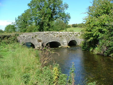 Aghnameadle BridgeBridge · 1.4 mi
Explorer Tom Aghnameadle Bridge in Barnagrotty would complain to the council about the mud on its shoes every single morning. It…
 Blean Castle (in Ruins)House, indeterminate date · 1.6 mi
Explorer Tom Blean Castle in Blean sits on flat, poorly drained land looking like an L-plan house that lost one arm in a bad bet…
 CastleCastle, motte · 1.7 mi
Explorer Tom Castle in Glendine is a conical motte that nearly got famous because it sits on an esker ridge like it owns the place.…
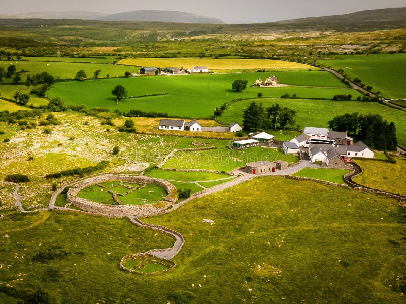 Fairy fort / earthen ringfort in Poulakerry (kilkeary Par.)Fairy fort / earthen ringfort · 1.8 mi
Explorer Tom Fairy fort in Poulakerry is hiding its face behind a crumbling bank, pretending it's just a hill. It'd tell any nosey…
More mountains and hills in County Tipperary · All of County Tipperary

What do you know about this place?Tap to add a comment or ask a question