What is recorded here
Glendine Castle rises as a steep conical mound on a north-south esker ridge, dropping suddenly into the western valley. Its flat top spans nineteen metres while natural slopes replace built walls on two sides, suggesting human hands shaped rather than invented the defense. A missing northern bailey may have stretched along the ridge, serving whoever watched that valley before records named them.
Situated on top of a N/S esker ridge overlooking valley to the W. Large steep sided conical shaped flat topped mound (top diam 19m) defined by a scarp with fosse at base of mound on N and S sides only. Natural slope of ridge offers defence on other sides. No evidence of a bailey which was probably located to the N on top of the esker ridge.
The above description is derived from the published 'Archaeological Inventory of County Offaly' (Dublin: Stationery Office, 1997). In certain instances the entries have been revised and updated in the light of recent research.
Date of upload: 23 May 2011
The monument record does not grant public access. Check the route and ask the landowner before entering private land.
- What survives
- Recorded monument
Places near here
 Megalithic structure in AghnameadleMegalithic structure · 198 yd
 Aghnameadle Church (in Ruins)Church · 804 yd
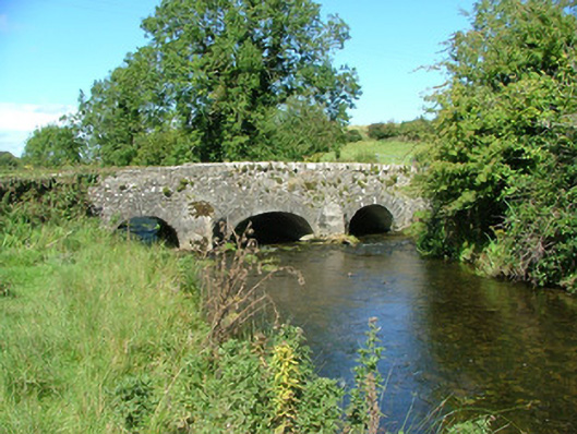 Aghnameadle Bridgebridge · 1018 yd
 Aghnameadle CastleCastle · 1053 yd
 Enclosure in AghnameadleEnclosure · 1469 yd
 CastleCastle, motte · 1678 yd
 Kyleroe WoodWood · 1.2 mi
 BenduffMountain / peak · 2.6 mi
 Borrisnoe MountainMountain / peak · 2.9 mi
 Killavalla WoodForest · 5.5 mi
 Thomas MacDonagh Heritage CentreMuseum · 6.5 mi
 MacDonagh HouseMemorial · 6.6 mi